Image
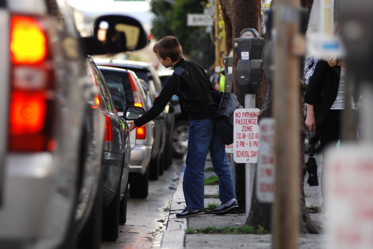
The Transportation Authority is creating a School Access Plan for San Francisco to recommend transportation solutions for K-5 students and their families.
Image
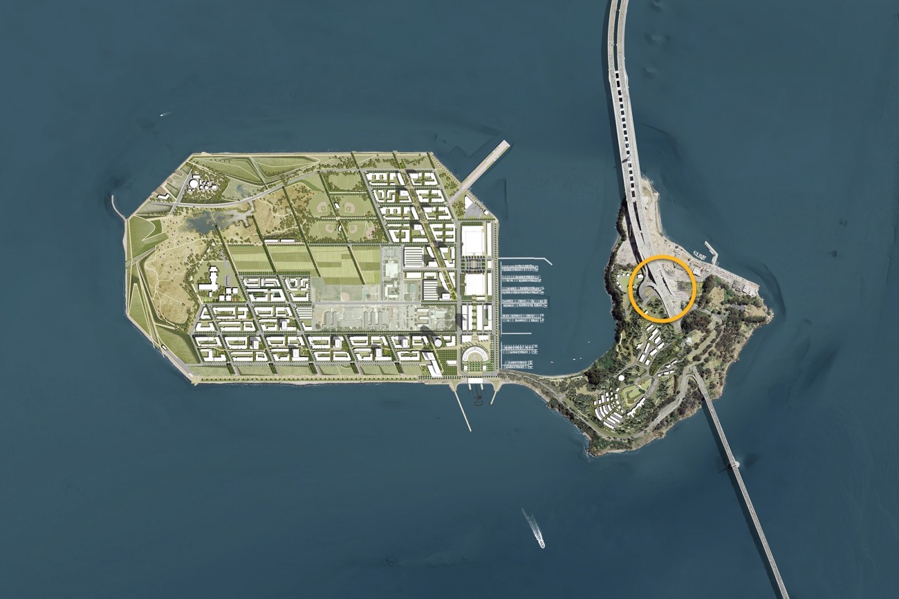
The project reconstructs and reopens the I-80 eastbound off-ramp to Yerba Buena Island. The project features an innovative design that enhances safety and circulation.
Image
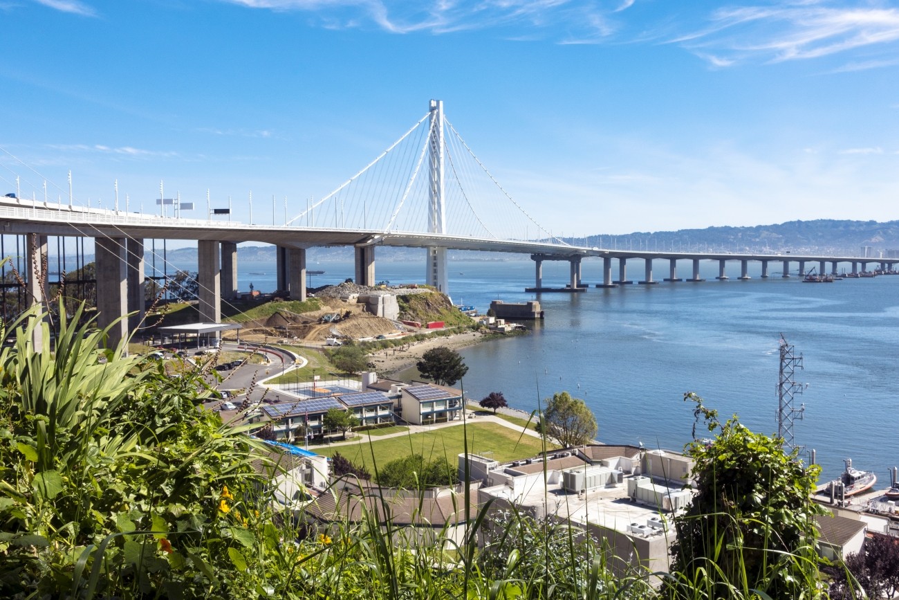
Vista Point is a scenic rest stop on Yerba Buena Island near the Bay Bridge east span bicycle/pedestrian path.
Image
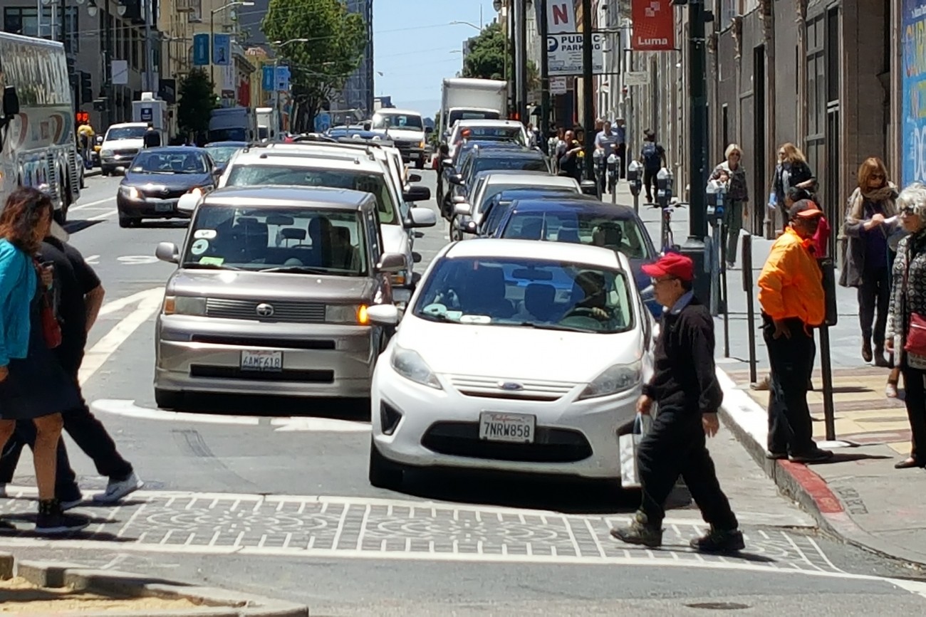
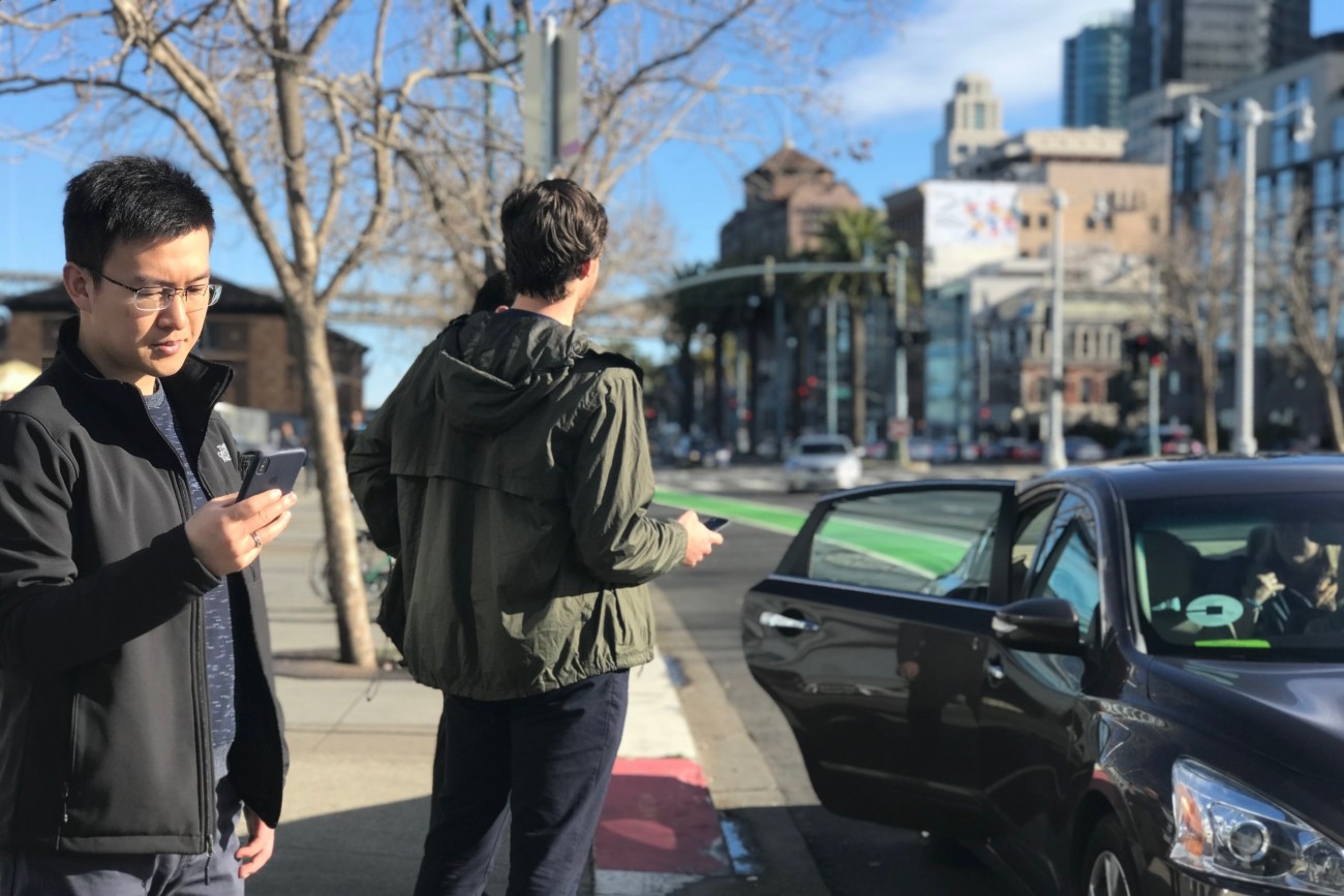
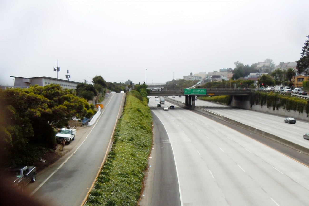
This report provides the first comprehensive analysis of how Transportation Network Companies Uber and Lyft collectively have affected roadway congestion in San Francisco.
Image
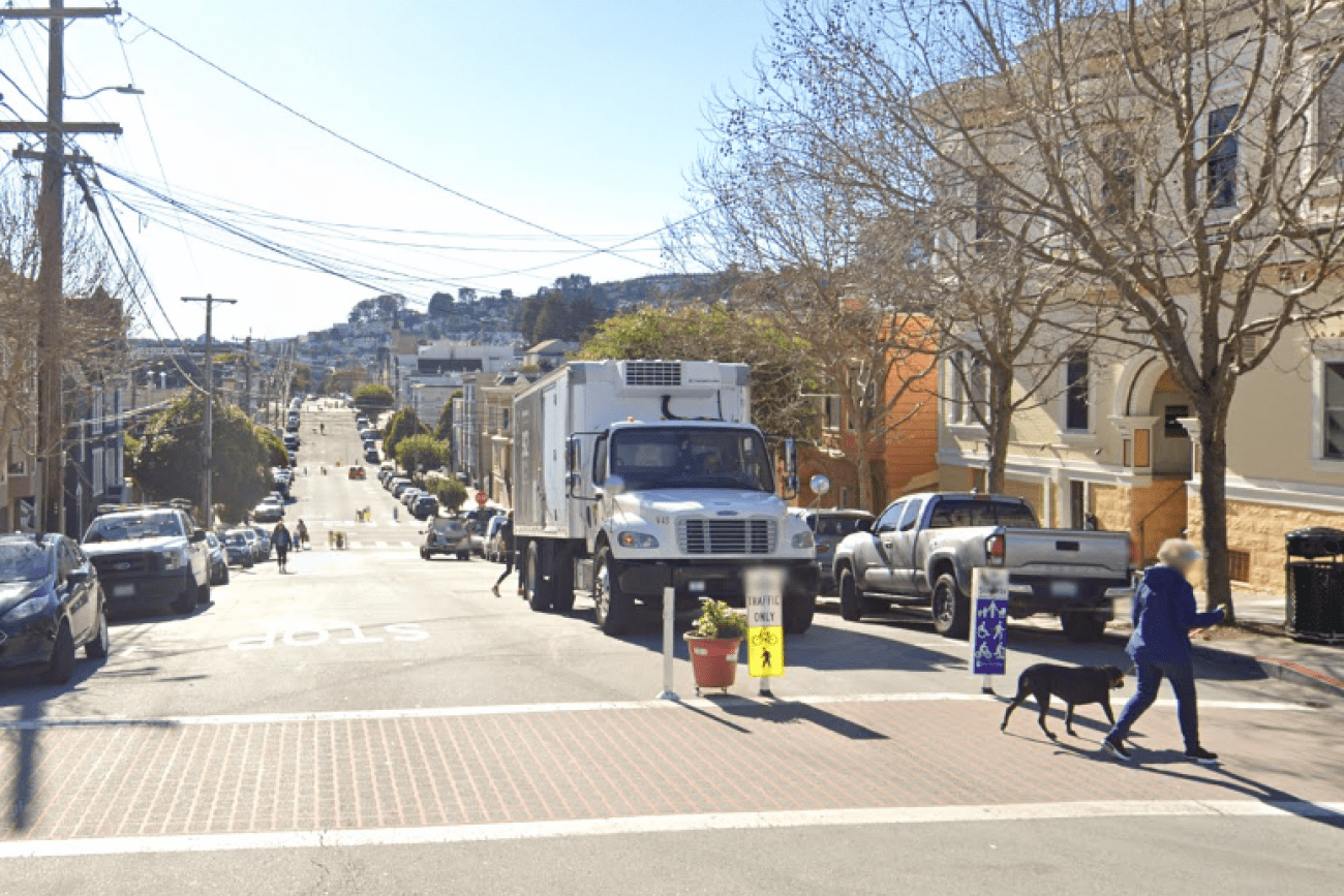
Sanchez Street is one of the city's most beloved Slow Streets, and was one of the first Slow Streets corridors to be converted to a post-pandemic Slow Street in 2021. A full citywide Slow Streets program was approved by the San Francisco Municipal Transportation Agency Board in December 2022. This project is an opportunity for Sanchez Street to pilot innovative new treatments and to test out 'next generation' improvements on a Slow Street, including concrete traffic calming islands and permanent metal wayfinding signs. The project will design and install ‘next generation’ Slow Street improvements along Sanchez Street from 23rd Street to 30th Street.
Image
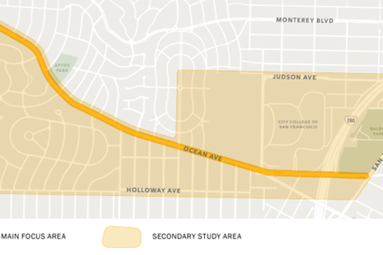
The Ocean Ave Safety & Bike Access project will implement near- and mid-term pedestrian safety, bicycle access, and other upgrades along and adjacent to the Ocean Avenue business district, which were identified in the Ocean Ave Mobility Action Plan.
Image
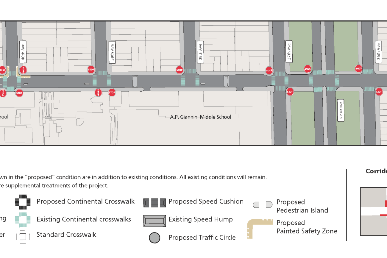
The Ortega Street Improvements project will design and implement traffic calming measures on Ortega Street between 19th Avenue and 47th Avenue to create a safer, more comfortable pedestrian and bicycle route. The traffic calming measures will improve traffic safety, improve comfort and calmness, and make the local street more inviting for neighborhood scale travel by walking and bicycling. San Francisco Municipal Transportation Agency staff will develop detailed designs by drawing on work, findings, and recommendations in the San Francisco Transportation Authority’s District 4 Mobility Study.
Image
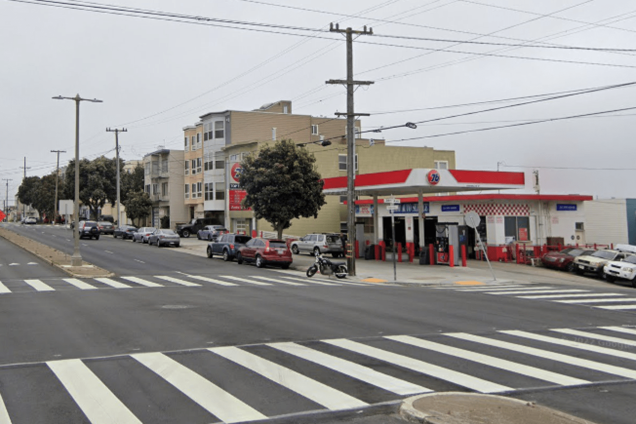
This project will design and install rectangular rapid flashing beacons, pedestrian push buttons, and improved signage to improve pedestrian safety at the intersection of 38th Avenue and Geary Boulevard.
Image
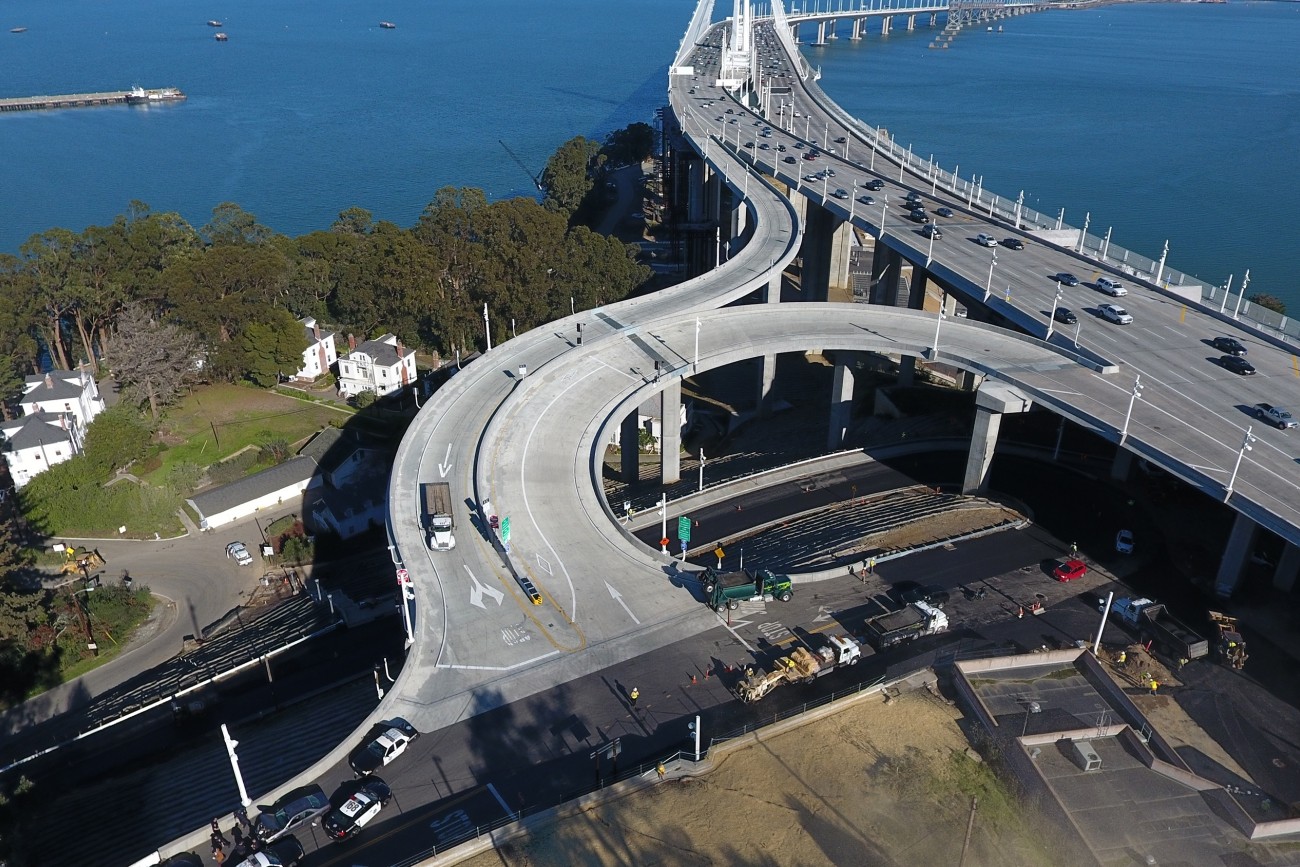
The new westbound I-80 on- and off-ramps that connect Yerba Buena Island and Treasure Island to the eastern span of the Bay Bridge are open.
Image
The SFMTA is implementing quick and effective traffic calming measures at locations in District 11.
Image
This Community Based Transportation Plan for Portsmouth square will analyze the new park design and explore existing transportation and circulation around the park.
Image
This report provides the first comprehensive look at the rapidly evolving emerging mobility sector in San Francisco.
Image
The Balboa Park BART/Muni Station is one of the busiest transit hubs in San Francisco. Local agencies are working to improve circulation in the Balboa Park interchange and station area.
Image
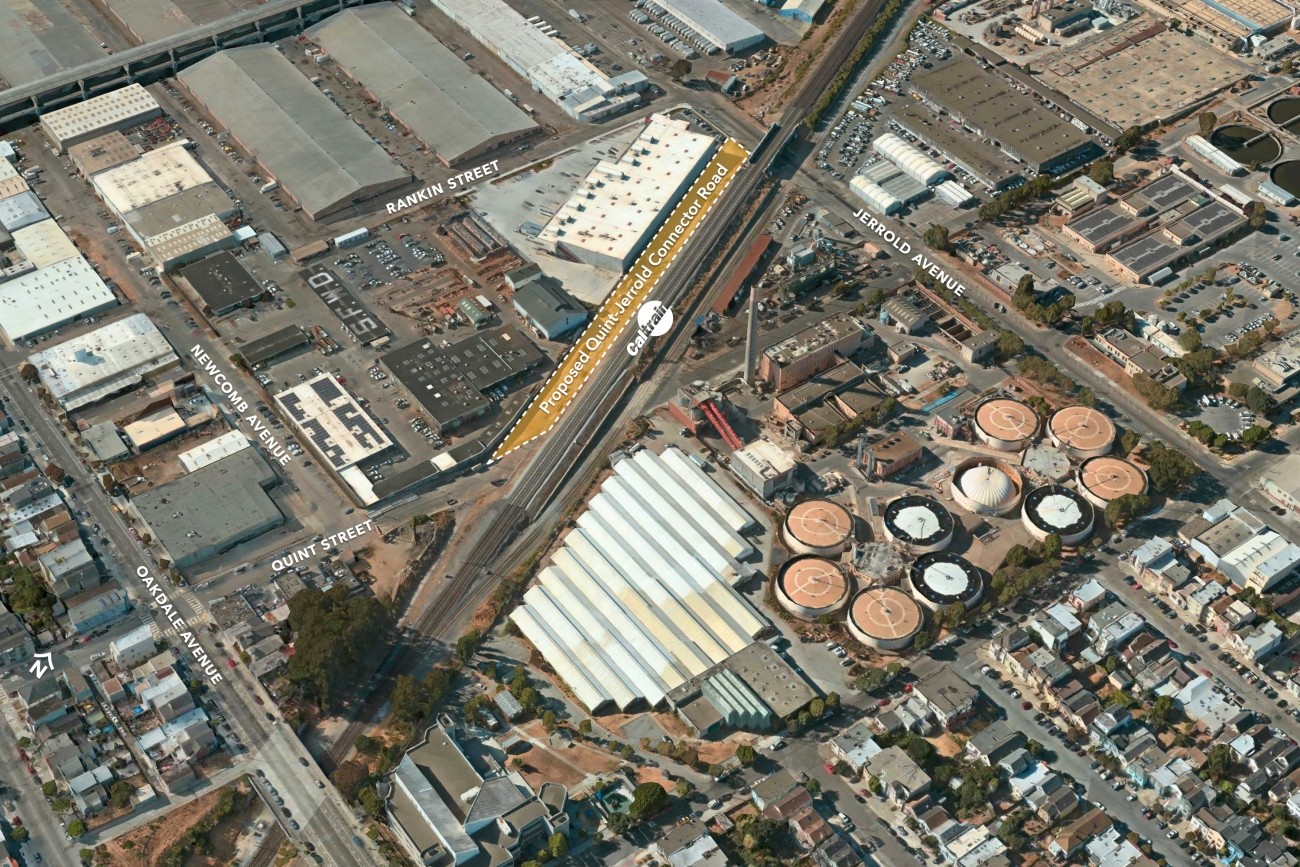
The proposed Quint-Jerrold Connector Road will reestablish a connection between Oakdale Avenue and Jerrold Avenue via a new road along the west side of the Caltrain tracks.
Image
The District 4 Mobility Study will explore ways to increase the use of non-automobile modes in the Outer Sunset and Parkside neighborhoods.