
Features
Image
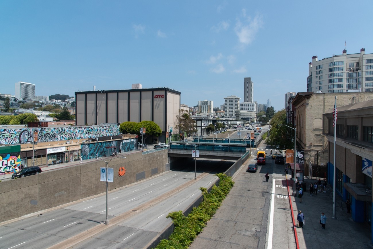
The project will develop transportation and land use concept designs that rethink the urban renewal-era Geary Expressway and advance a high-quality multimodal, mixed-use transit-oriented area to connect the Japantown and Fillmore/Western Addition neighborhoods and promote community livability.
Image
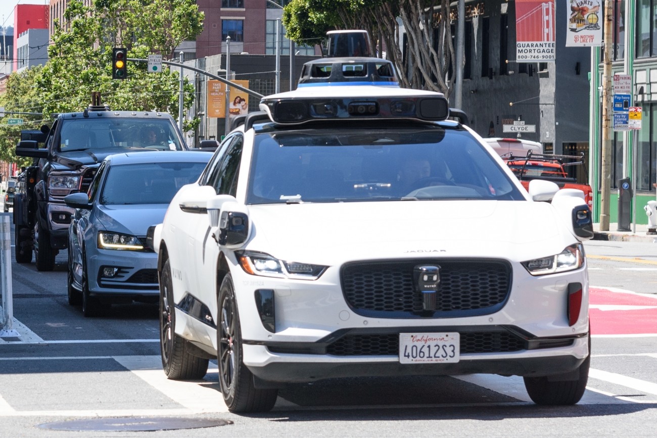
San Francisco is a locus of Autonomous Vehicle (AV) deployment, including commercial AV passenger services and our Treasure Island Loop AV Shuttle Pilot. San Francisco continues to support the potential benefits of automated driving, provided deployment occurs in an incremental manner.
Image
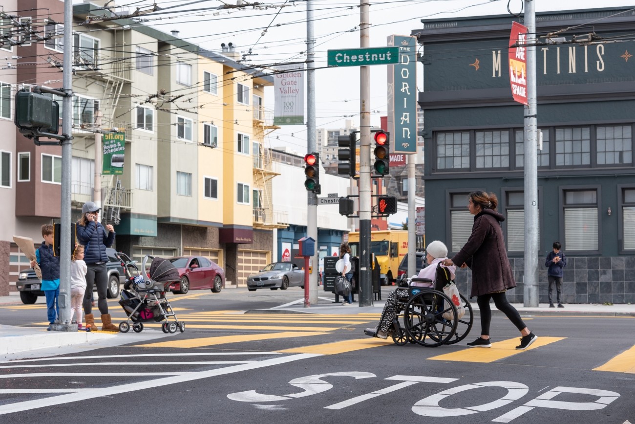
The District 2 Safety Study will address safety challenges and barriers to access on routes to land uses that attract children, seniors, and other vulnerable road users including parks, schools, hospitals, and recreational areas. The study will create a toolkit of safety improvements and guidance for implementation. The funding for this study includes implementation of study recommendations as a combination of quick-build or permanent construction.