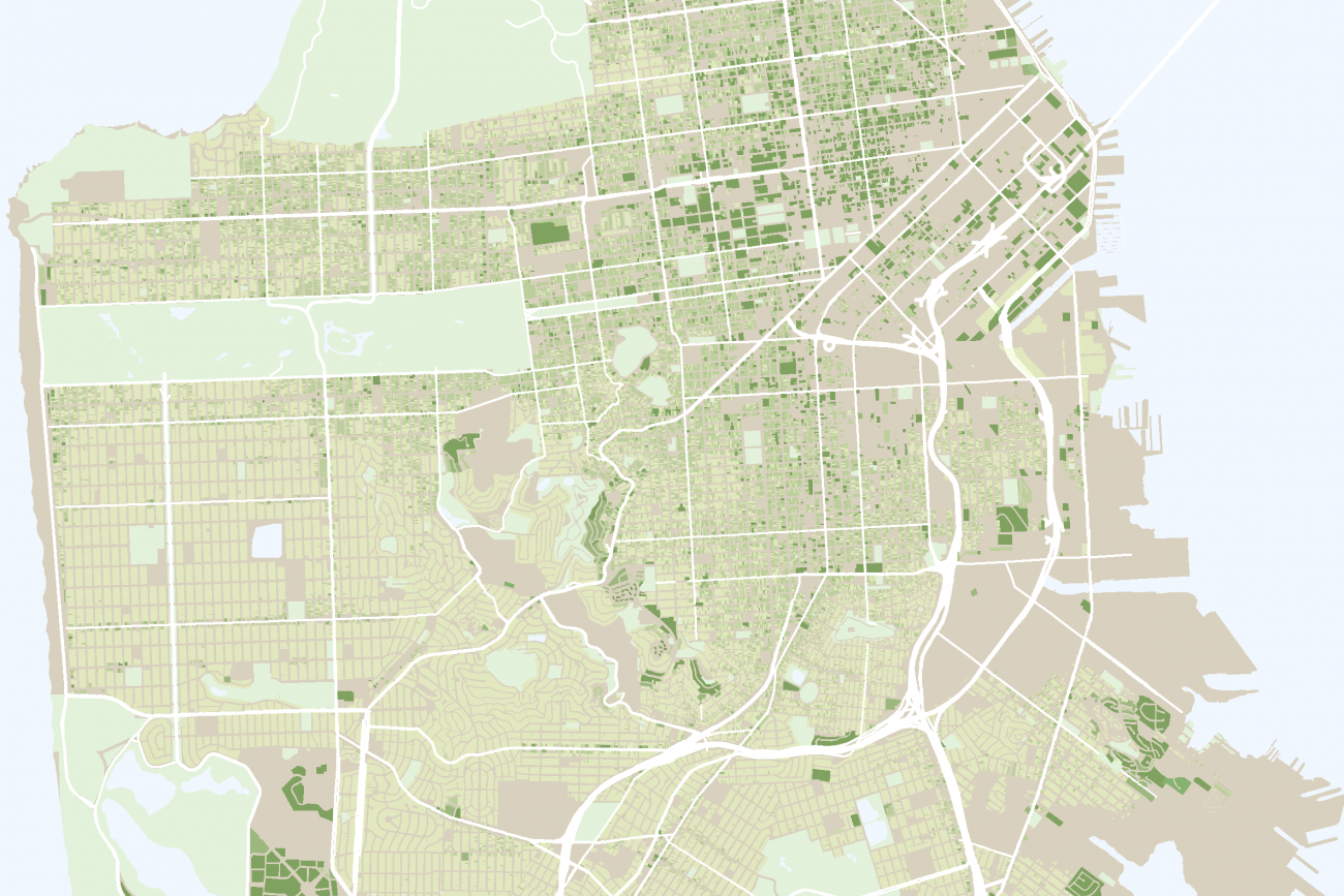
These transportation analysis tools help us evaluate San Francisco's transportation system and make informed decisions for the future.
CycleTracks for iPhone and Android
CycleTracks uses smartphone GPS support to record users' bicycle trip routes in order to help transportation planners make informed decisions about bicycle use in the community.
Dynamic Traffic Assignment
We use a Dynamic Traffic Assignment model to give planners a more fine-grained view of transportation system performance and a better understanding of traffic patterns around San Francisco.
SF-CHAMP Modeling
SF-CHAMP is San Francisco’s travel forecasting tool. This tool is used for many planning studies and projects to predict future travel patterns for the city.
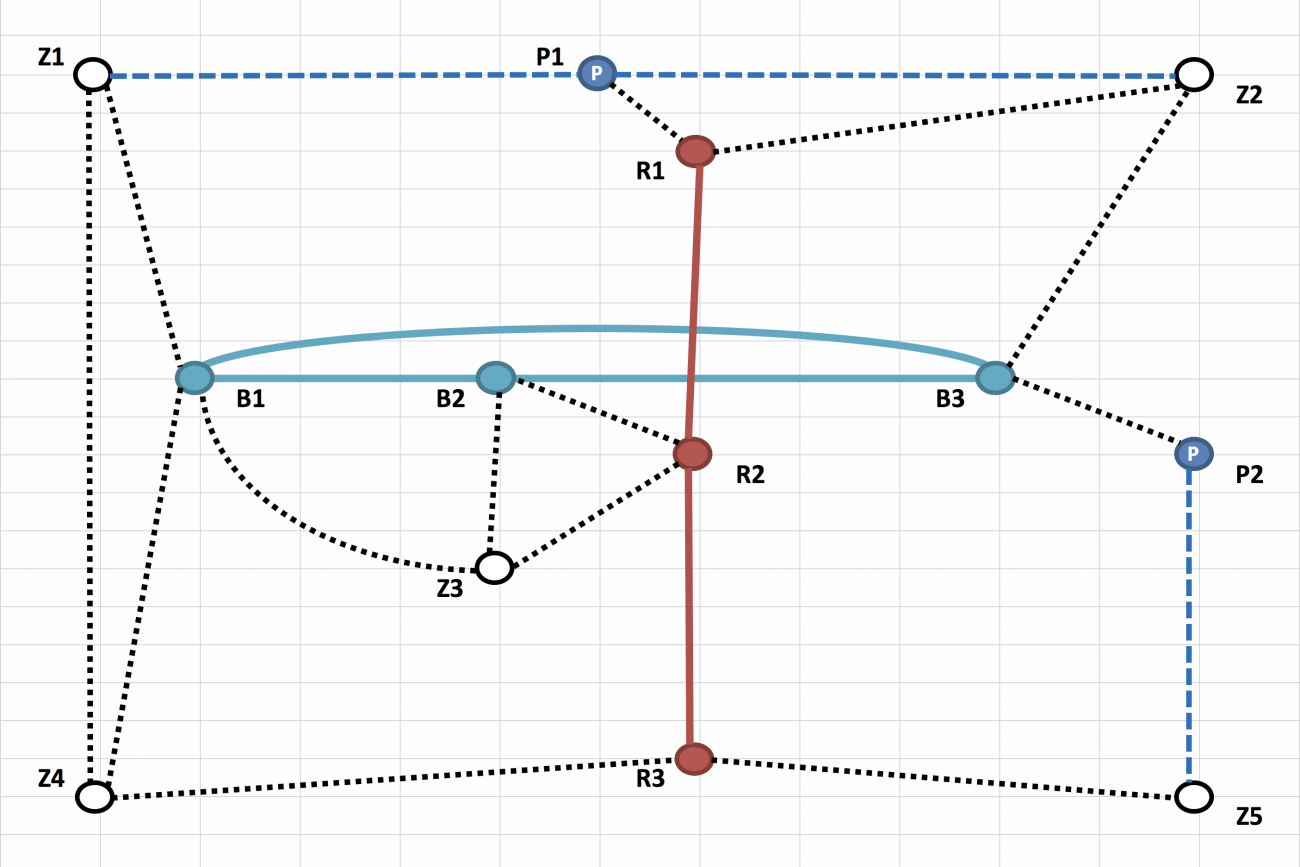
SHRP2 Fast-Trips
Fast-Trips is a transportation modeling tool that simulates people using transit.
Transportation Demand Management Evaluation Tool
This tool will provide comprehensive, systematic evaluation of the effectiveness of Transportation Demand Management strategies.

Model and Data Service Bureau
Our Model and Data Service Bureau provides services to interested parties regarding model data and output as well as GIS and other data.

Github
Our github webpage hosts software we have developed, our interactive data visualizations, tools for managing model networks, and more.