Introduction
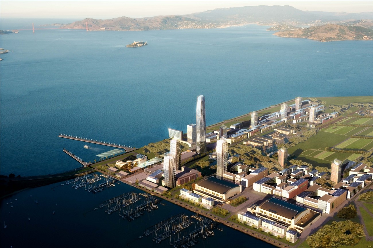
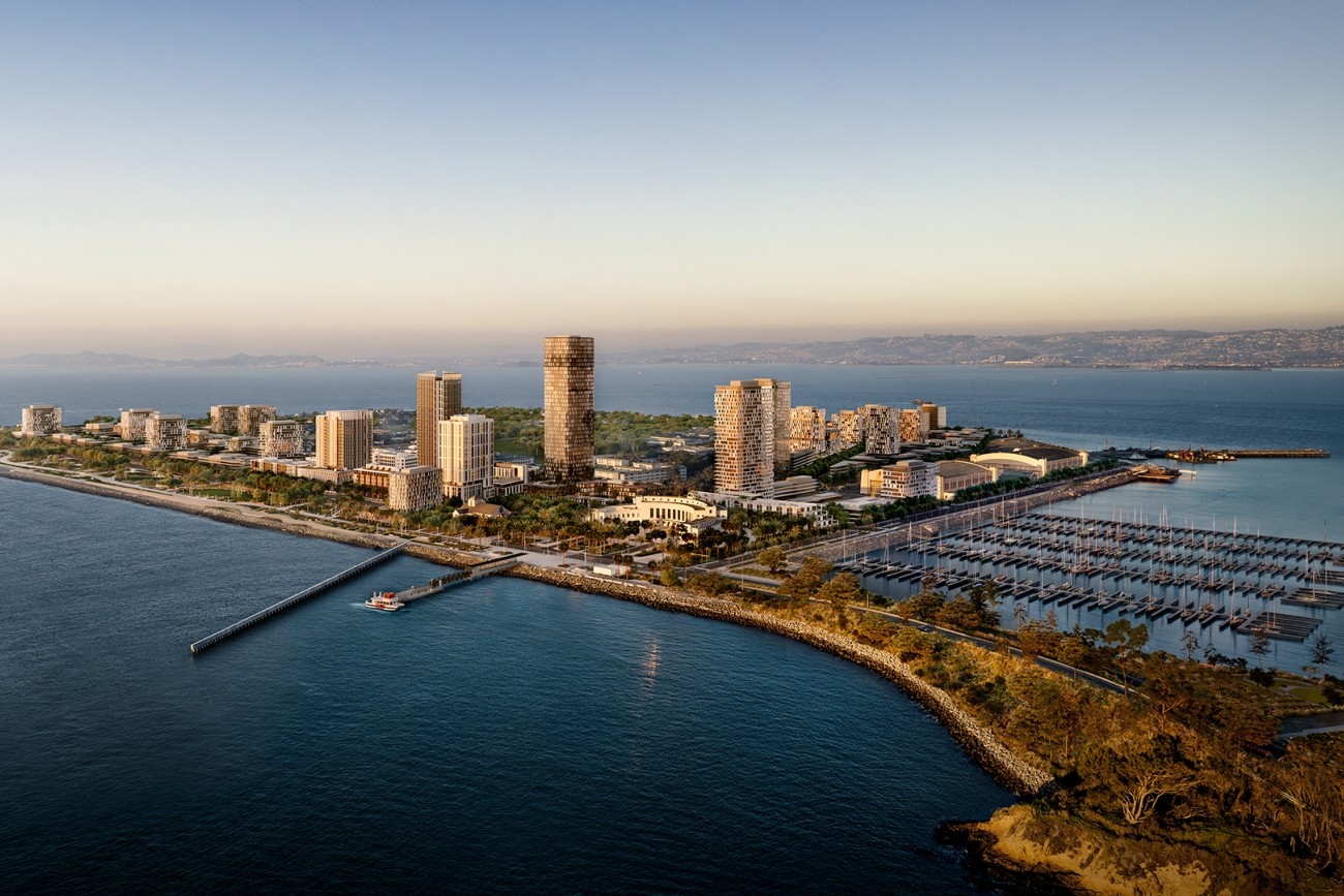
Treasure Island and Yerba Buena Island are currently being transformed into a large, sustainable multimodal community with up to 8,000 housing units and 2,200 jobs.
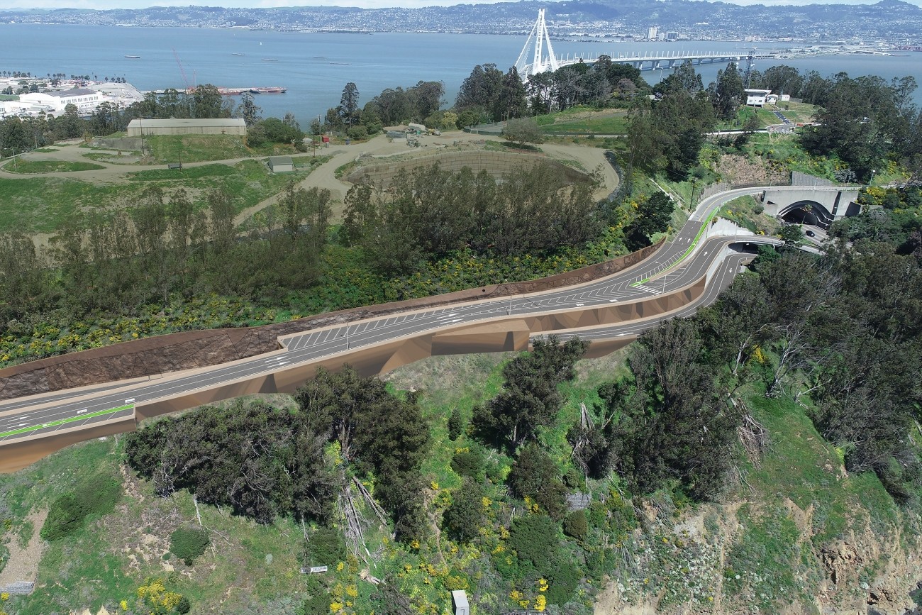
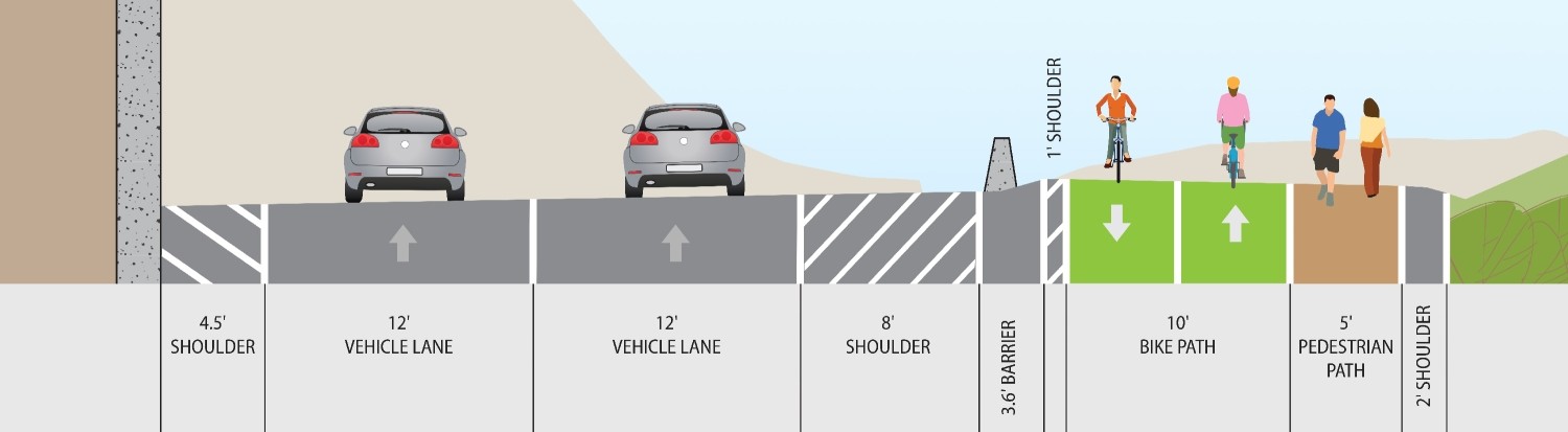
The Yerba Buena Island Multi-Use Pathway Project will build 1.2 miles of bicycle and pedestrian connections with protected pathways that run along Hillcrest Road and Treasure Island Road. The goal is to create a livable, transit-oriented community, with over 50% of trips made by walking, biking, or transit.
The new path will:
- Allow bicyclists and pedestrians at the Yerba Buena Island Vista Point to continue to the Treasure Island Ferry Terminal
- Advance sustainable transportation options for the future residential and commercial development under construction on Yerba Buena Island and Treasure Island
- Improve safety, accessibility, and local and regional connectivity
Project Partners:
- Bay Area Toll Authority
- Caltrans
- SFMTA
- San Francisco Public Works
- Treasure Island Development Authority
- US Coast Guard
Timeline
-
2022 – 2024
Environmental Approval and Preliminary Engineering
-
2024 – 2026
Design
-
2026 – 2028
Construction
Cost and Funding
The cost of the preliminary engineering, design, and construction phases of the Yerba Buena Island Multi-Use Pathway Project is $ 101.5 million. The project is funded by the Transportation Authority’s Local Partnership Program, MTC’s Priority Conservation Area grants, Bay Area Toll Authority, Active Transportation Program, and the Treasure Island Development Authority.
Contact
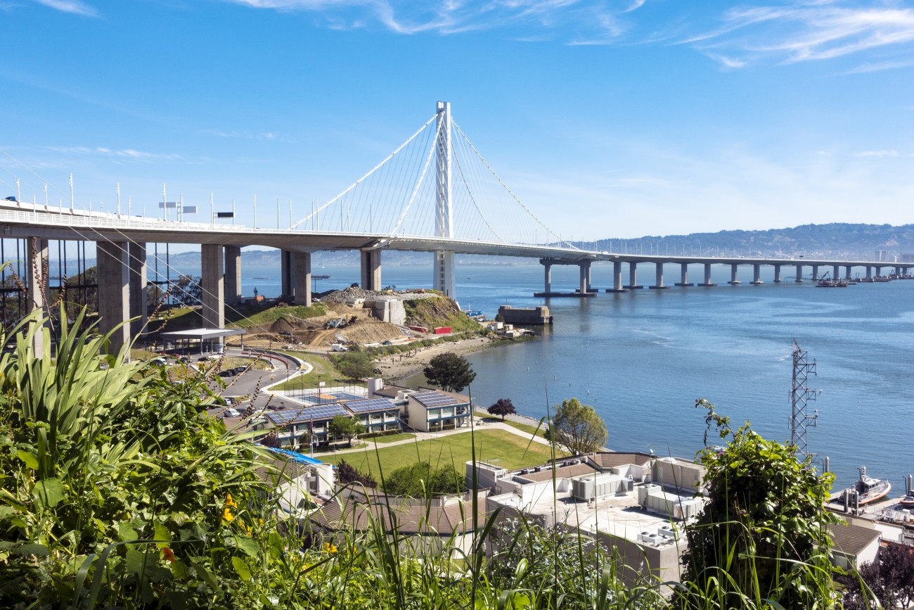
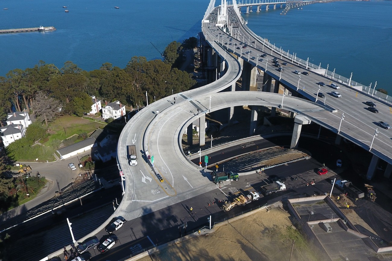
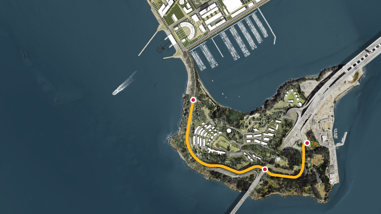
The Multi-Use Path project is a 1.2 mile multimodal path starting at the existing Bay Bridge East Span bike landing on Yerba Buena Island, to Macalla Road via Treasure Island Road and Hillcrest Road.
This path will be separated from traffic and provide travelers with a safer and ADA-compliant path to Treasure Island where they can board an electric ferry to downtown San Francisco.
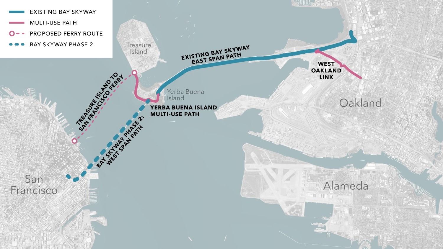
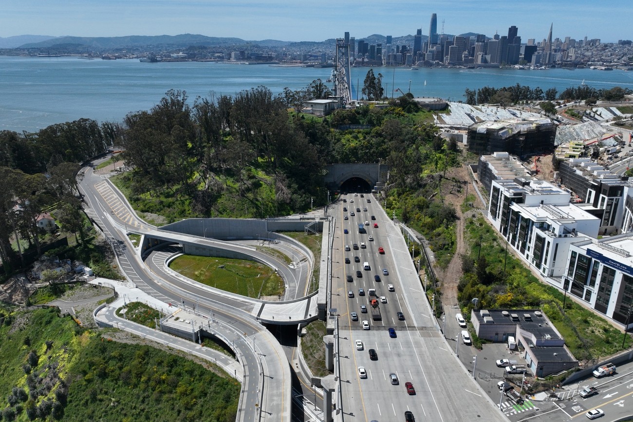
Connecting the Bay Skyway Phase 2 Bike Path on the Bay Bridge West Span
The Yerba Buena Island Multi-Use Path is an essential part of the Bay Skyway Phase 1 project that will provide seamless bicycle and pedestrian access from West Oakland to Treasure Island and Yerba Buena Island to San Francisco.
The Bay Skyway Phase 1 will:
- Close a critical active transportation network gap and increase access to economic opportunities for disadvantaged communities of West Oakland and Treasure Island
- Improve safety for the Island’s existing residents, all drivers, and active transportation users
- Reduce congestion on the Transbay Corridor while providing a low-cost, greenhouse gas emission-free, and reliable travel option
Related programs