Introduction
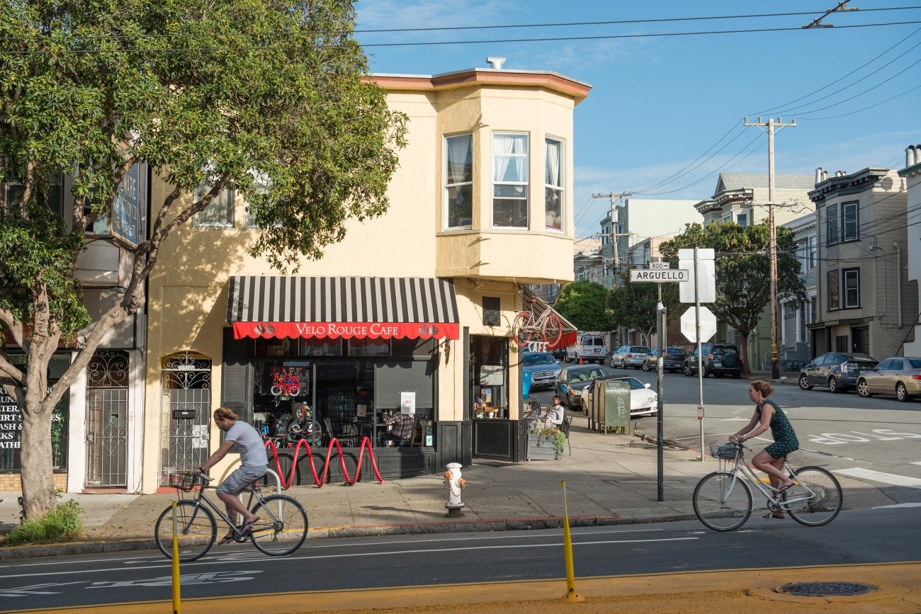
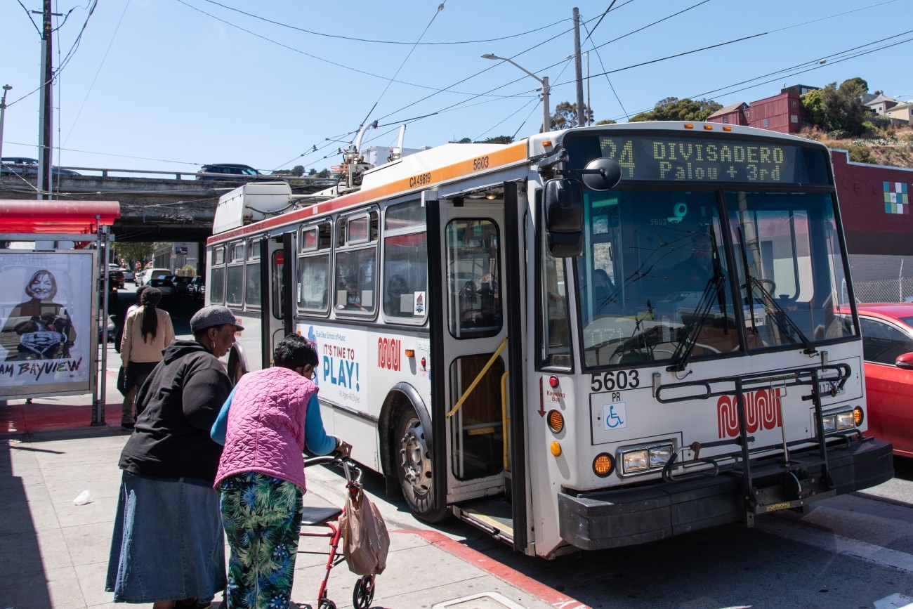
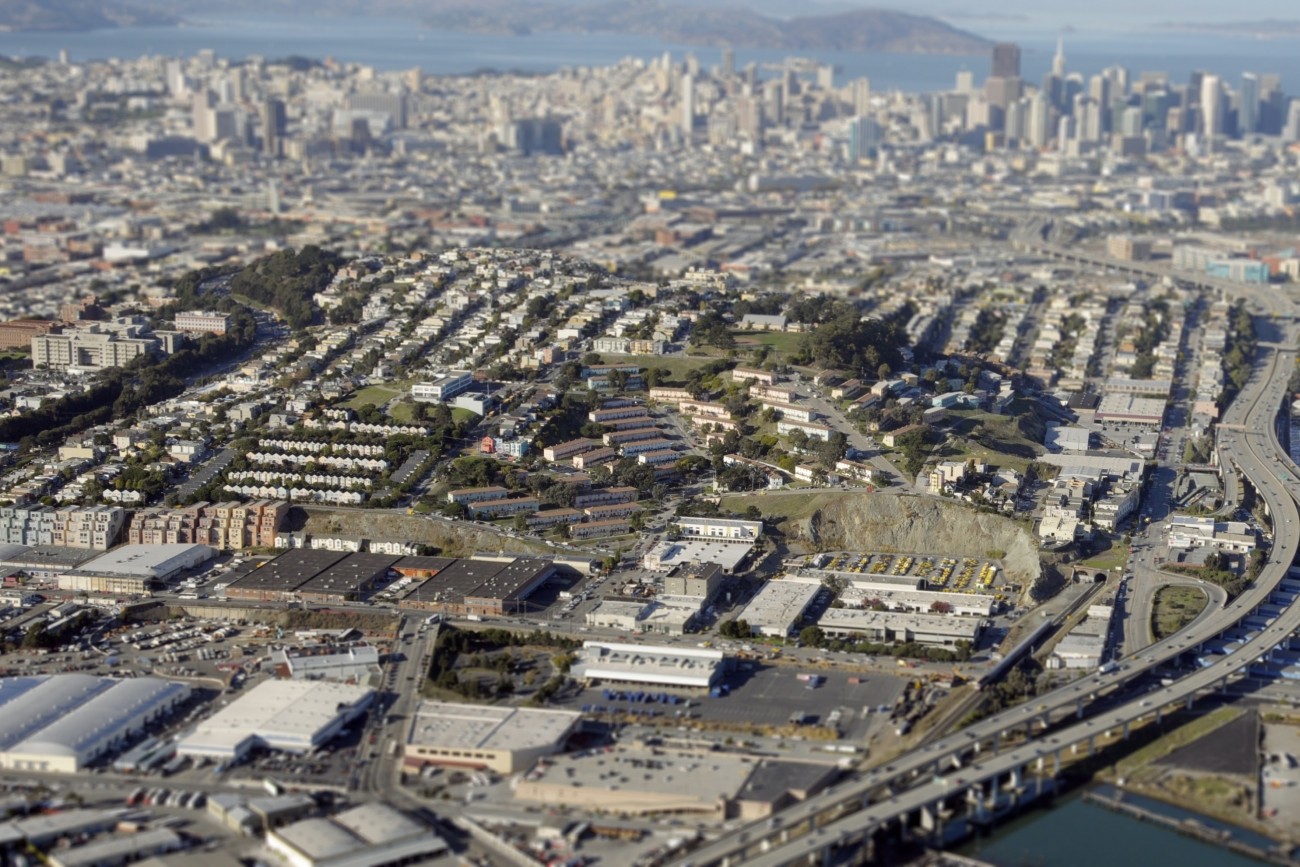
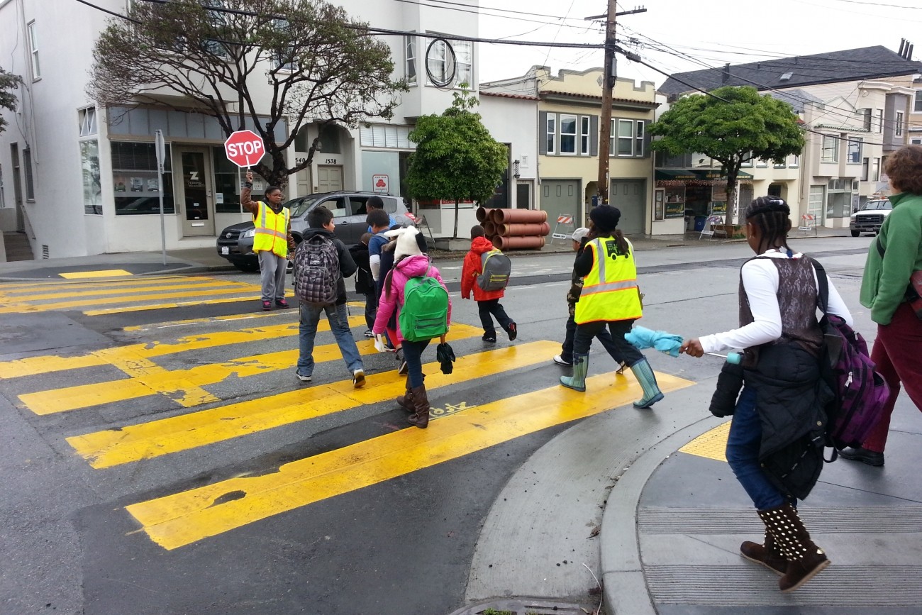
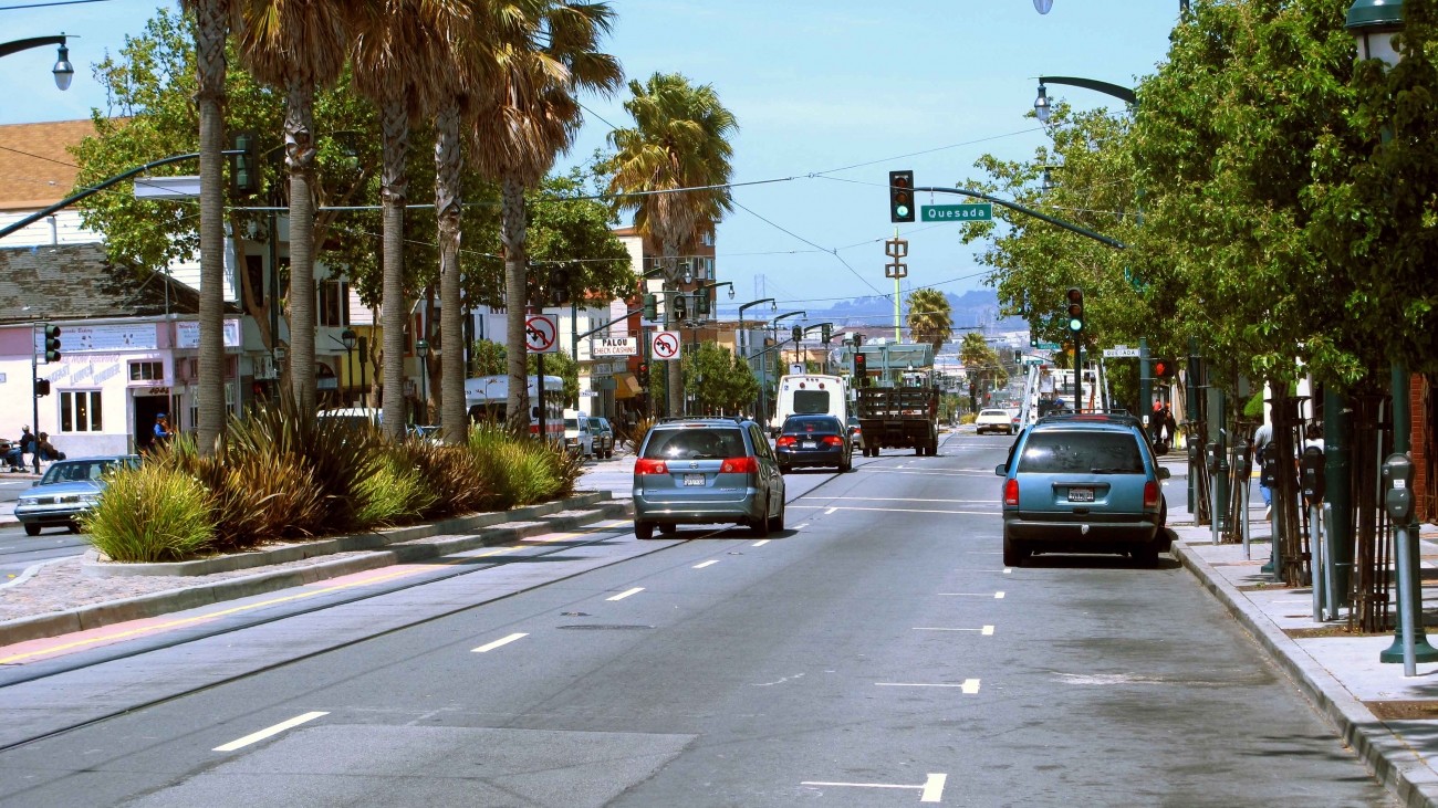
Many District 10 residents have few reliable and efficient transportation options. Neighborhoods such as the Bayview, Dogpatch, Potrero Hill, and Visitacion Valley can be challenging to navigate due to congestion, crowded buses, and transportation barriers like freeways. As a result, many residents drive to make everyday trips.
The Transportation Authority led the 2018 District 10 Mobility Management Study to identify a set of non-infrastructure strategies to reduce vehicle miles of travel in the district through partnerships between community organizations, developers, and emerging mobility service providers. The study focused on near-term, lower-cost, non-infrastructure concepts that address travel demand to, from, and within District 10.
This project was done in coordination with other efforts in the area, including the SFMTA's Bayview Community-Based Transportation Plan which focuses more on transportation infrastructure improvements.
Project/Study Partners
The Transportation Authority conducted this study in partnership with the SFMTA.
Cost and Funding
The Transportation Authority thanks former District 10 Supervisor and Transportation Authority Board Member Malia Cohen for recommending the District 10 Mobility Management Study for Neighborhood Program funding. Additional funding for this report was provided by a grant from the Toyota Mobility Foundation, by federal Surface Transportation Program funds provided by the Metropolitan Transportation Commission through its Community-Based Transportation Planning Program, and by Proposition K local transportation sales tax funds.
Resources
Final Report: District 10 Mobility Study, 2018 (PDF)
Presentation: Transportation Authority Board, December 4, 2018 (PDF)
Other Transportation Efforts Happening in District 10
Bayview Community Based Transportation Plan
Dogpatch Parking Management project
Candlestick Point/Hunters Point Shipyard
Contact
Get email updates on this project
Related programs