Image
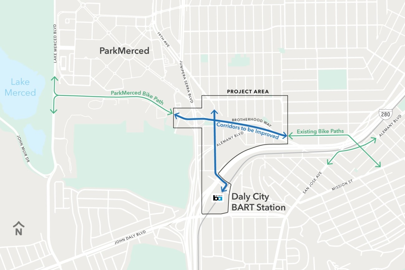
The Brotherhood Way Safety and Circulation Plan will develop near- and long-term concepts to improve safety, circulation, and connectivity through the Brotherhood Way and Alemany Boulevard corridors and on surrounding streets.
Image
Updated every four years, the San Francisco Transportation Plan is the blueprint for the city's transportation system development and investment over the next 30 years.
Image
The Transportation Authority developed the Ocean Avenue Mobility Action Plan to prioritize and identify funding for transportation improvements for the Ocean Avenue corridor.
Image
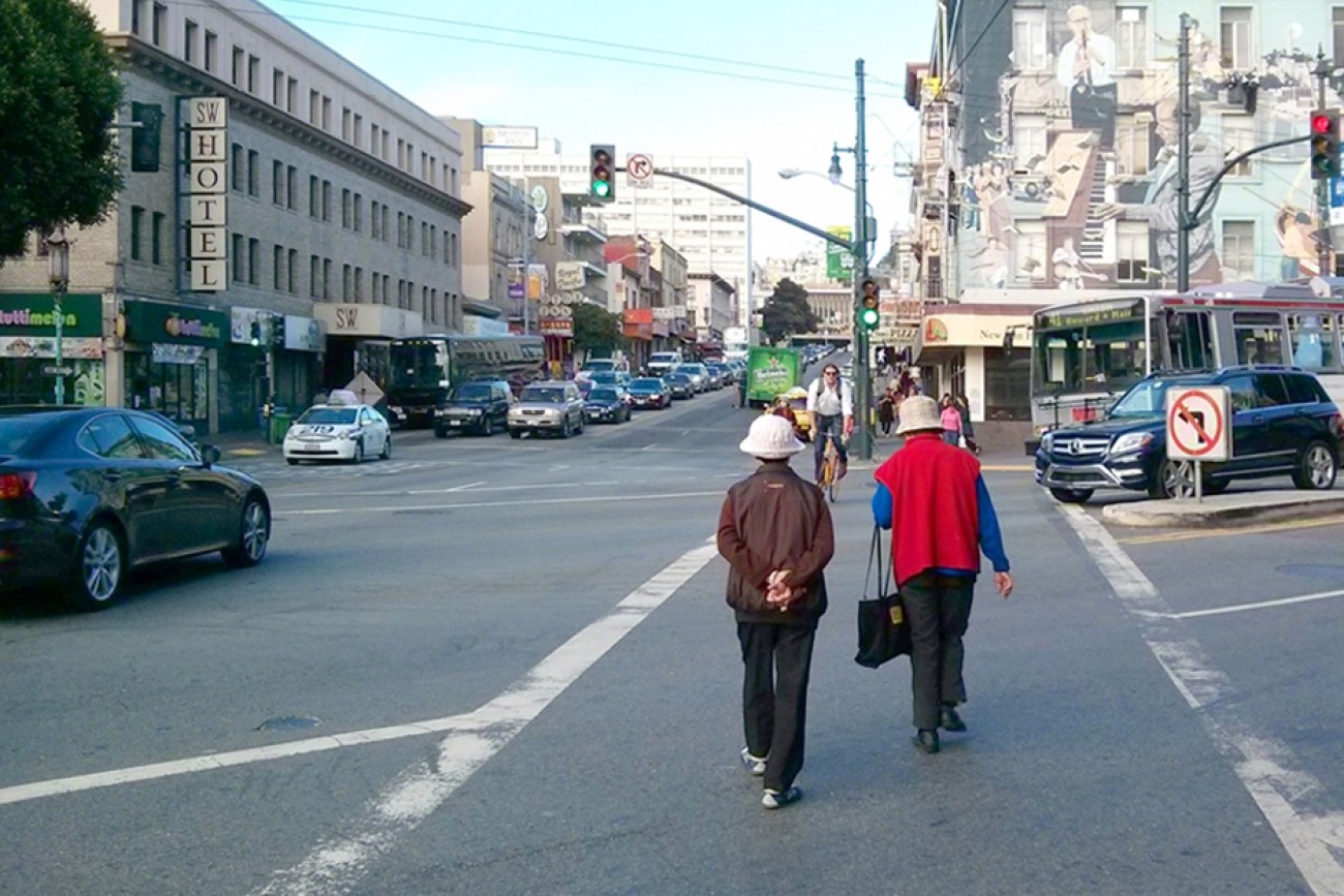
This study will identify a prioritized short list of recommendations to improve multimodal traffic safety and access in the Inner Sunset commercial core area in District 7.
Image

The San Francisco County Transportation Authority has released its “Transportation Capital Projects Delivery Study,” commissioned by Chair Rafael Mandelman and prior Vice-Chair Aaron Peskin to examine ways to improve delivery of large scale, complex transportation projects in San Francisco.
Image
Upper Market has complex, 6-way intersections and is on San Francisco’s Vision Zero High-Injury Network. Through the Upper Market Street Safety Project, SFMTA will install sidewalk and roadway improvements to make Upper Market safer and more comfortable for people walking, biking, driving, and accessing transit.
Image
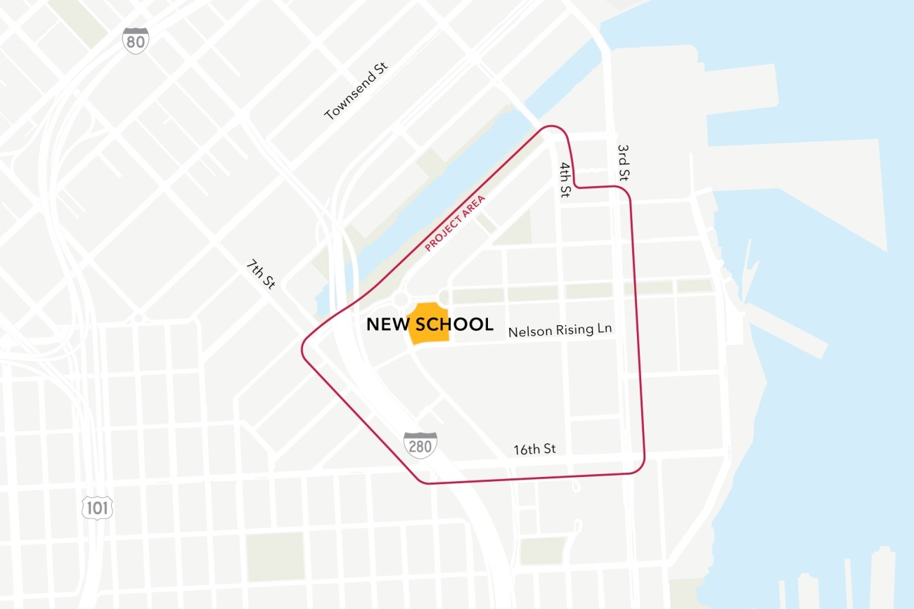
This project will analyze connectivity between a new public school site in the Mission Bay neighborhood, the existing low-stress active transportation network, and existing and planned transit. The project will then design infrastructure improvements to mitigate key barriers to active transportation. The project will also coordinate expected transportation programs and improvements from projects in the area to ensure school access is supported.
Image
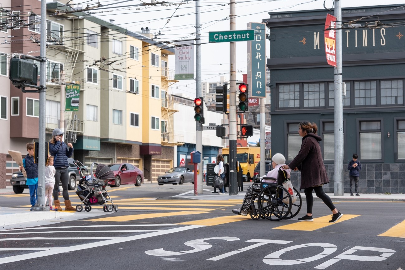
The District 1 Multimodal Transportation Study will engage the community to identify known mobility challenges and develop near- to long-term strategies to improve transit reliability and safety and shift trips to transit, walking, biking, or other non-driving options.
Image
The District 2 Safety Study will address safety challenges and barriers to access on routes to land uses that attract children, seniors, and other vulnerable road users including parks, schools, hospitals, and recreational areas. The study will create a toolkit of safety improvements and guidance for implementation. The funding for this study includes implementation of study recommendations as a combination of quick-build or permanent construction.
Image
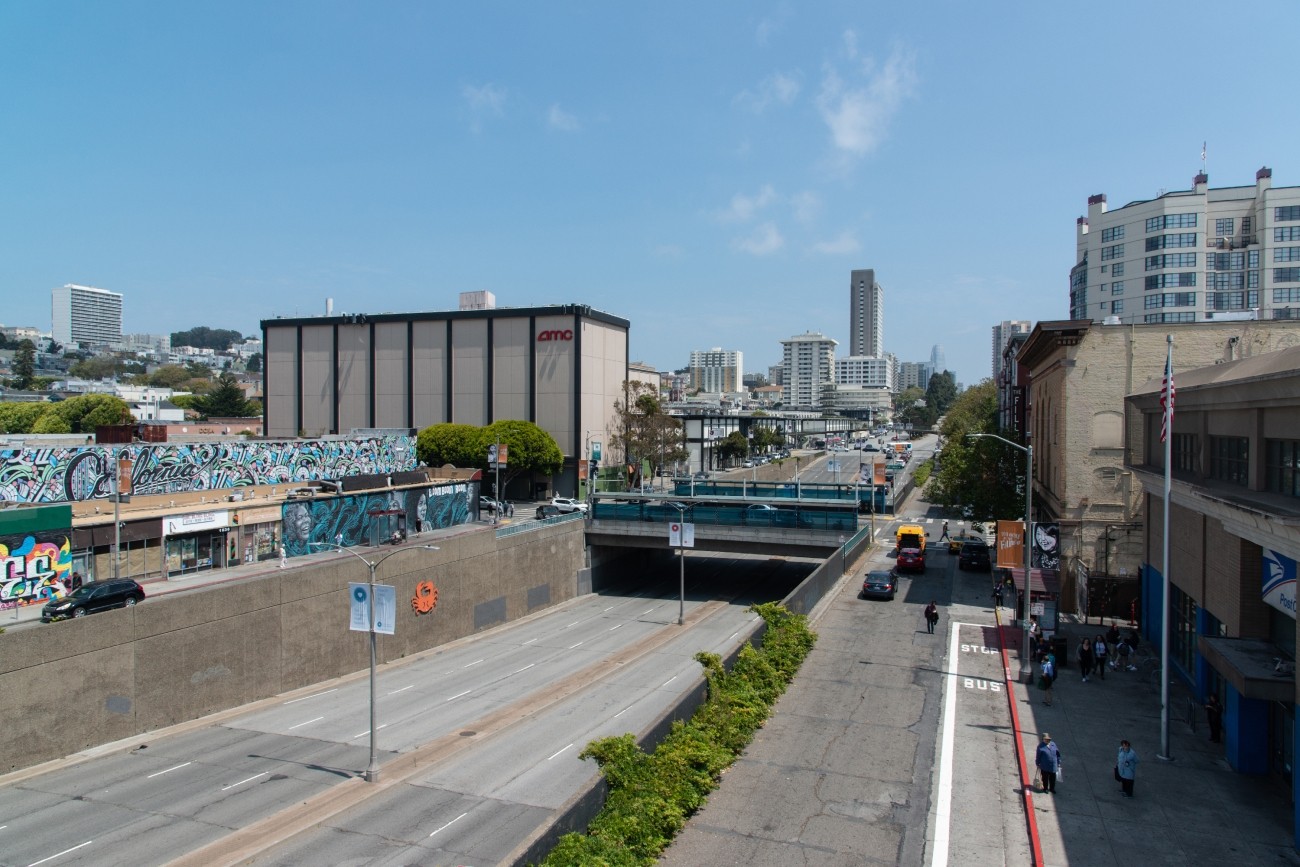
The project will develop transportation and land use concept designs that rethink the urban renewal-era Geary Expressway and advance a high-quality multimodal, mixed-use transit-oriented area to connect the Japantown and Fillmore/Western Addition neighborhoods and promote community livability.
Image
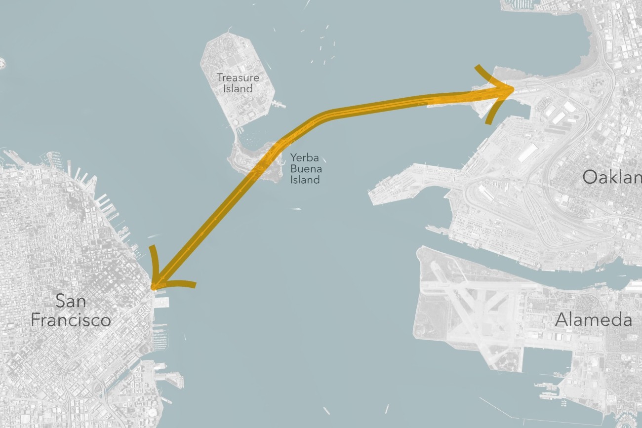
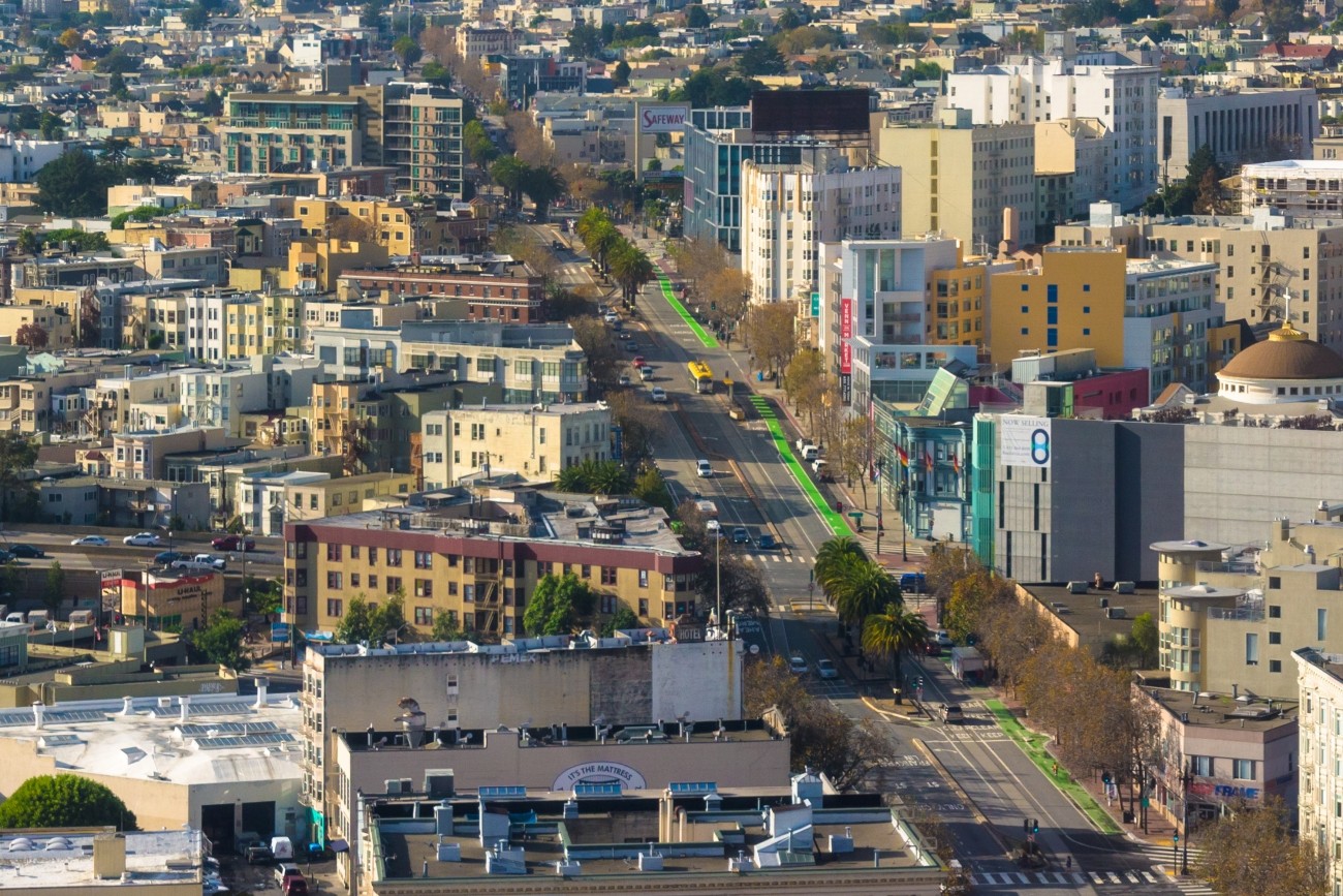
The Transbay Comprehensive Multimodal Corridor Plan Supplement presents a holistic approach for managing congestion, improving safety, and maximizing traffoc flow for all travel modes and incorporates measures to reduce air pollution and greenhouse gases.
Image
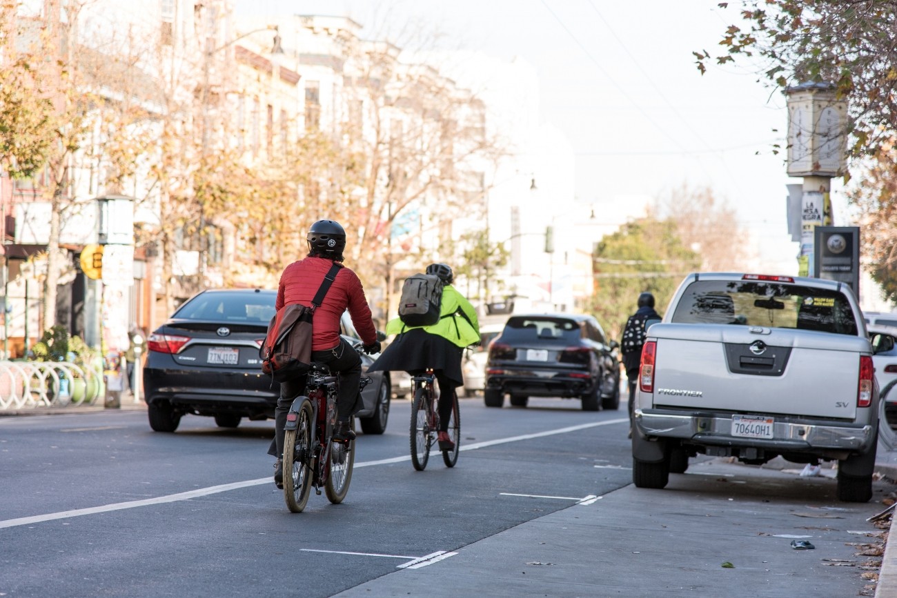
The SFMTA is working with the community to assess and recommend safety improvements for Valencia Street between Market and Mission streets.
Image
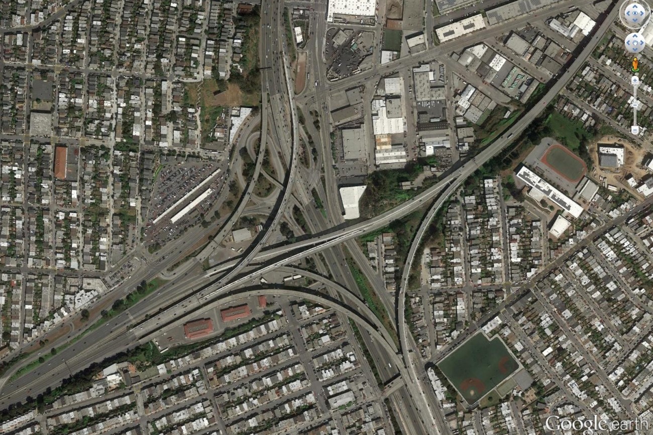
Finalized in April 2017, the Alemany Interchange Improvement Study outlined a list of safety and accessibility recommendations for the Alemany interchange.
Image

Plan Bay Area is a 25-year plan that establishes the nine-county Bay Area region’s vision for land use and transportation.
Image
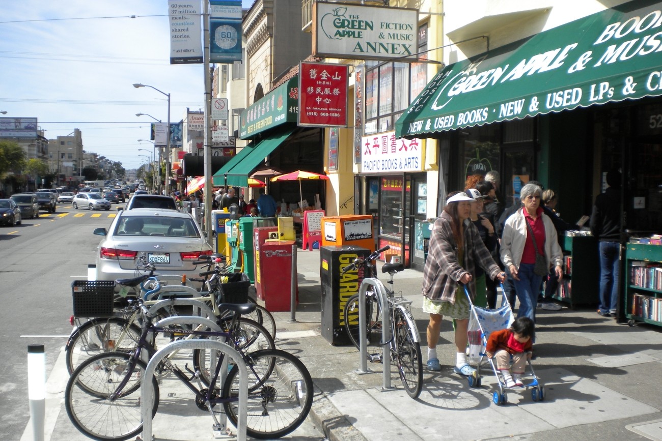
This plan focused on strategies to improve pedestrian safety on two high pedestrian-injury corridors in Chinatown: Broadway Street between Van Ness and Columbus Avenues, and Kearny Street between Bush and Jackson Streets.