Image
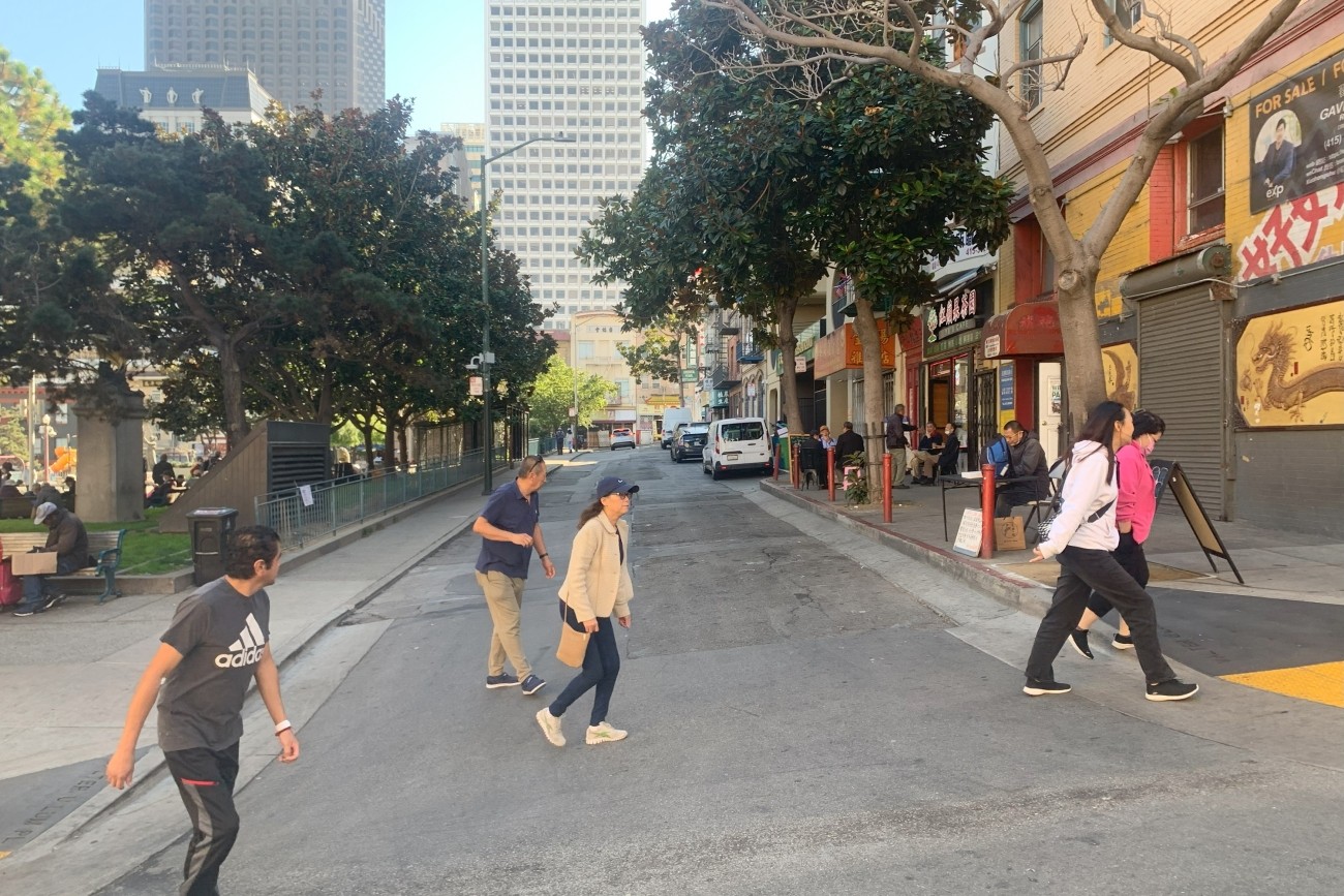
This study will examine various scenarios for a people-first Walter U Lum Place in District 3.
Image
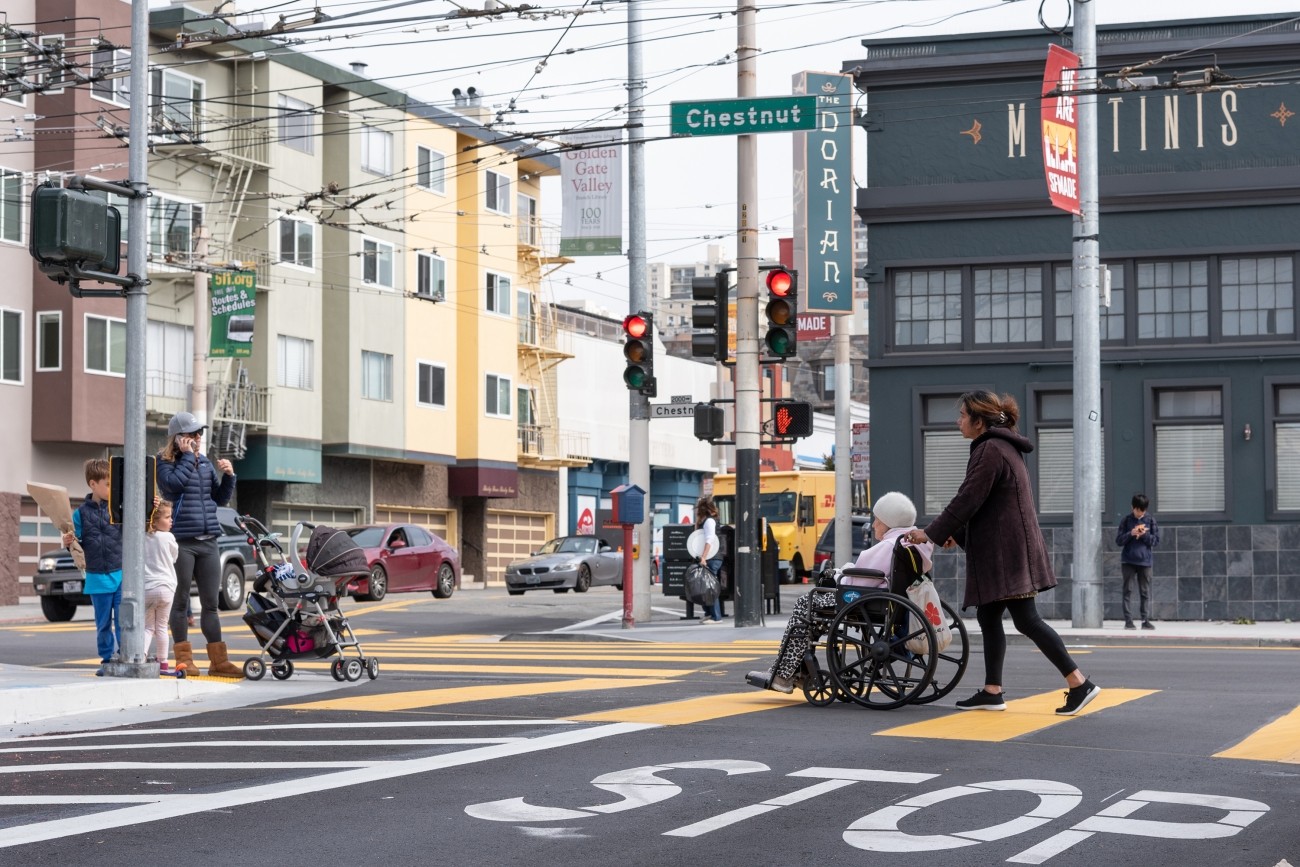
The District 2 Safety Study will address safety challenges and barriers to access on routes to land uses that attract children, seniors, and other vulnerable road users including parks, schools, hospitals, and recreational areas. The study will create a toolkit of safety improvements and guidance for implementation. The funding for this study includes implementation of study recommendations as a combination of quick-build or permanent construction.
Image
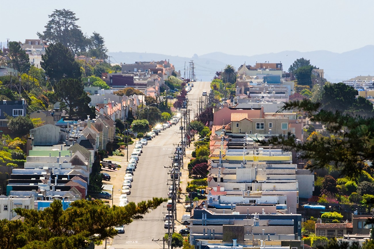
Updated every four years, the San Francisco Transportation Plan is the blueprint for the city's transportation system development and investment over the next 30 years.
Image
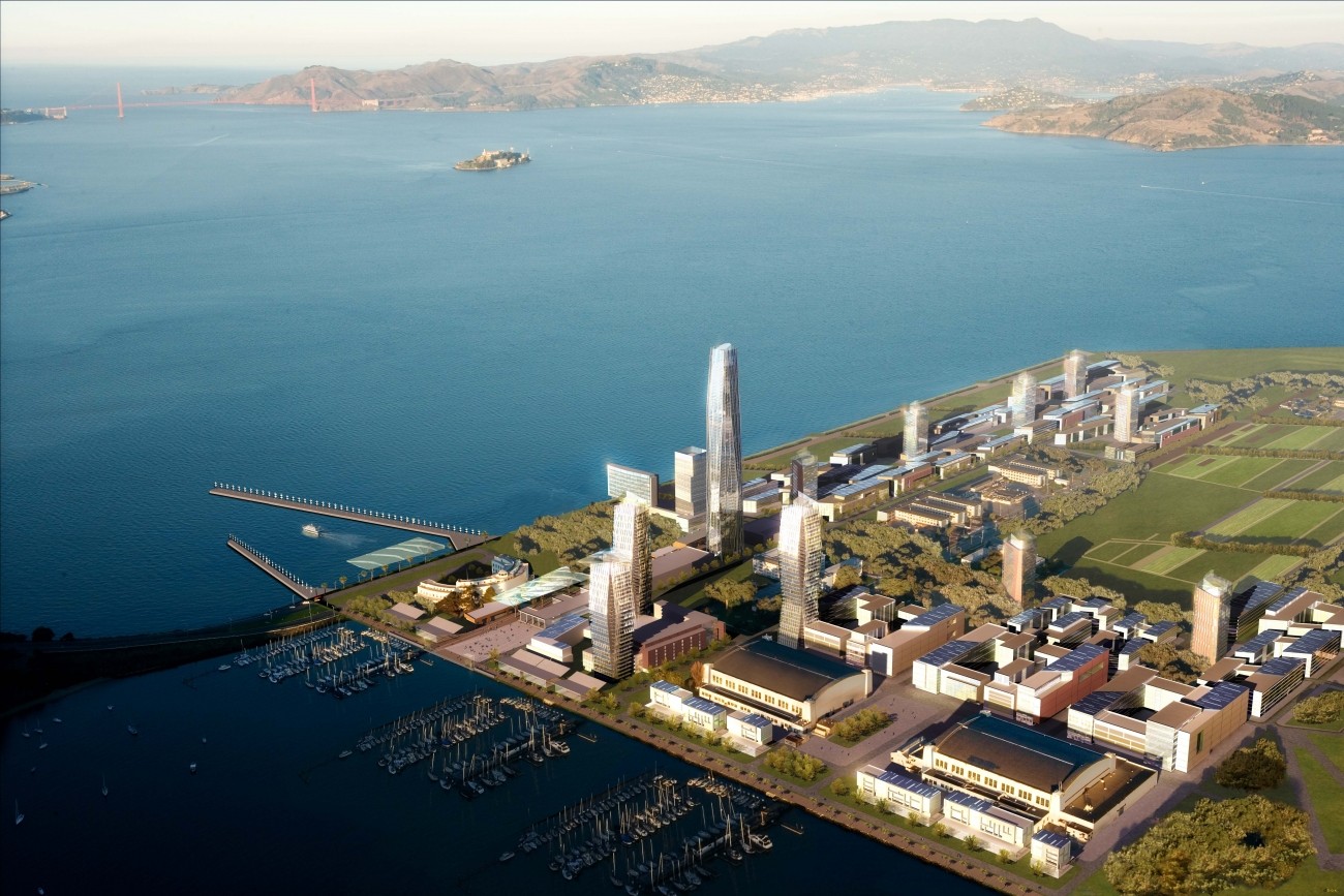
The Treasure Island Transportation Program will address the island's growing transportation needs with a goal to have at least 50 percent of trips made by transit instead of private vehicles.
Image
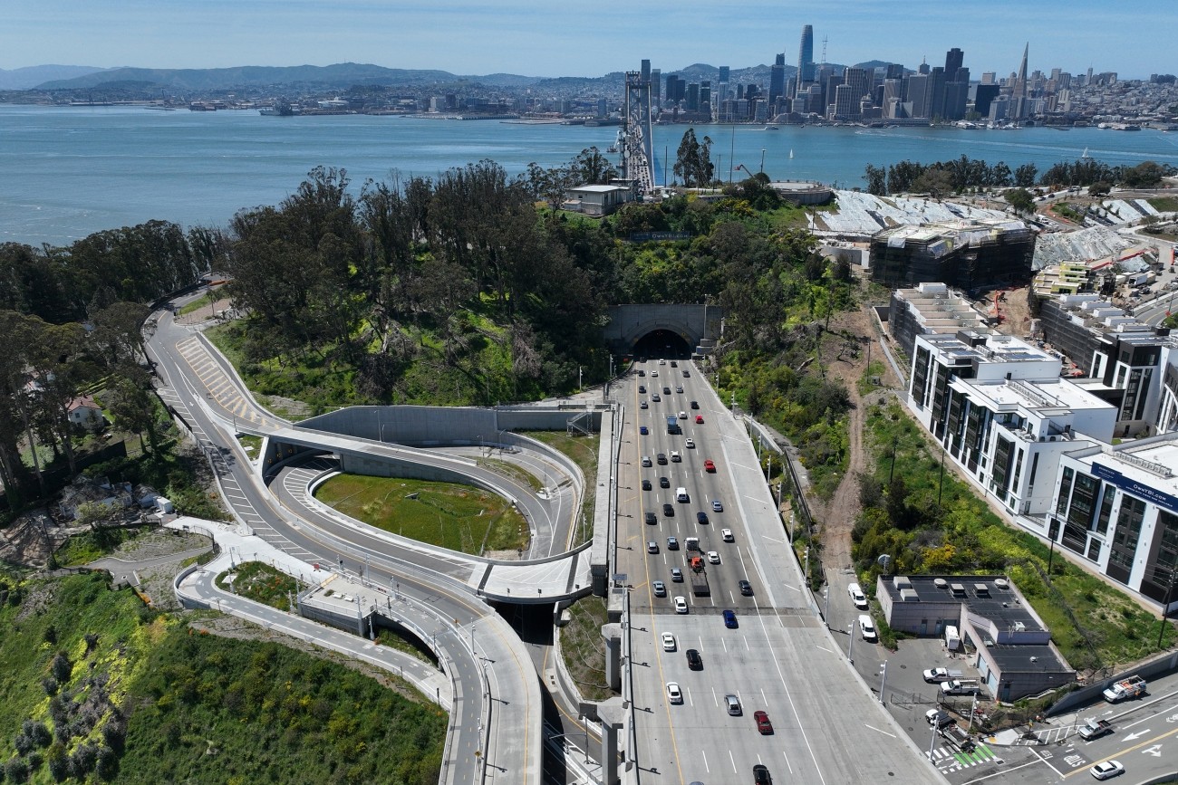
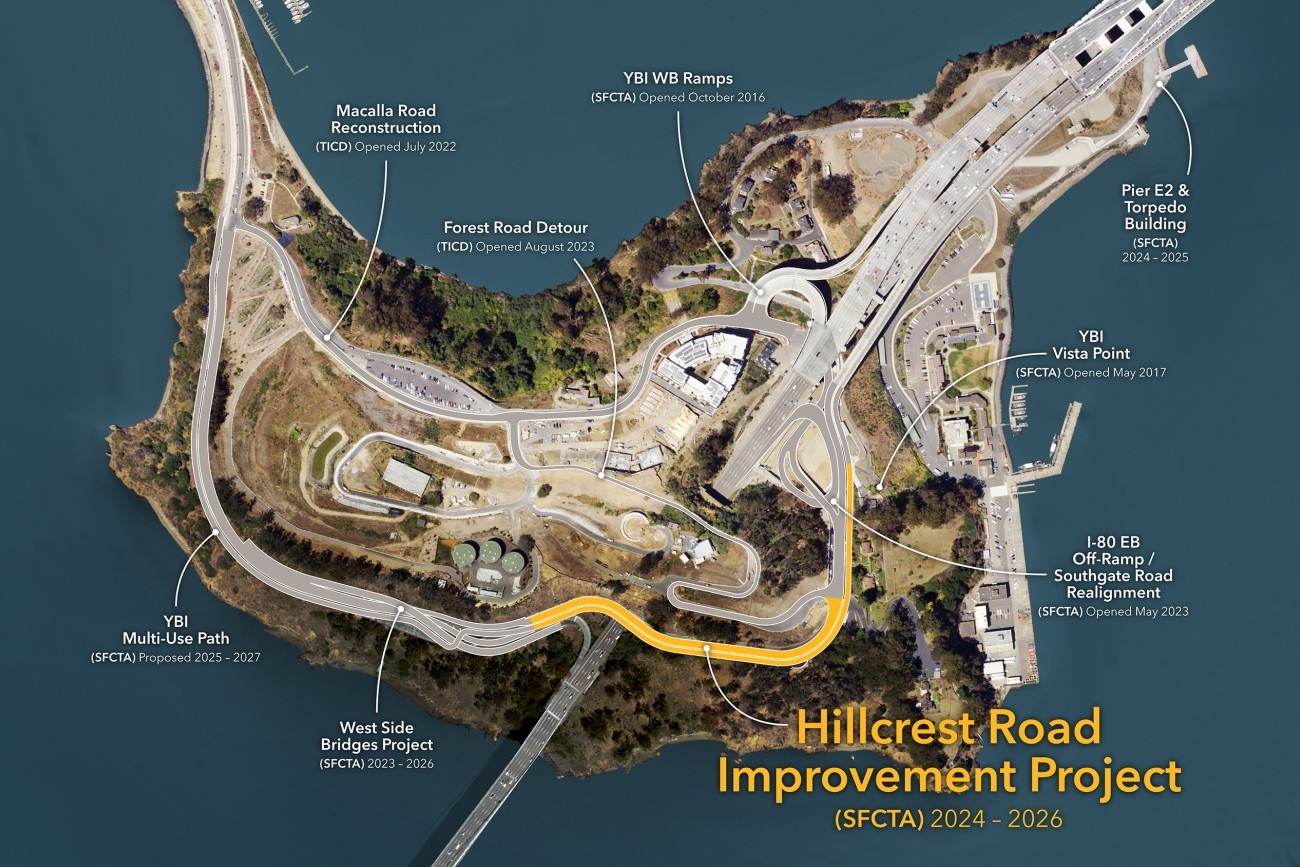
The project reconstructed the I-80 eastbound off-ramp to Yerba Buena Island. The project features an innovative design that enhances safety and circulation. The project was completed in 2023 and reopened to traffic.
Image
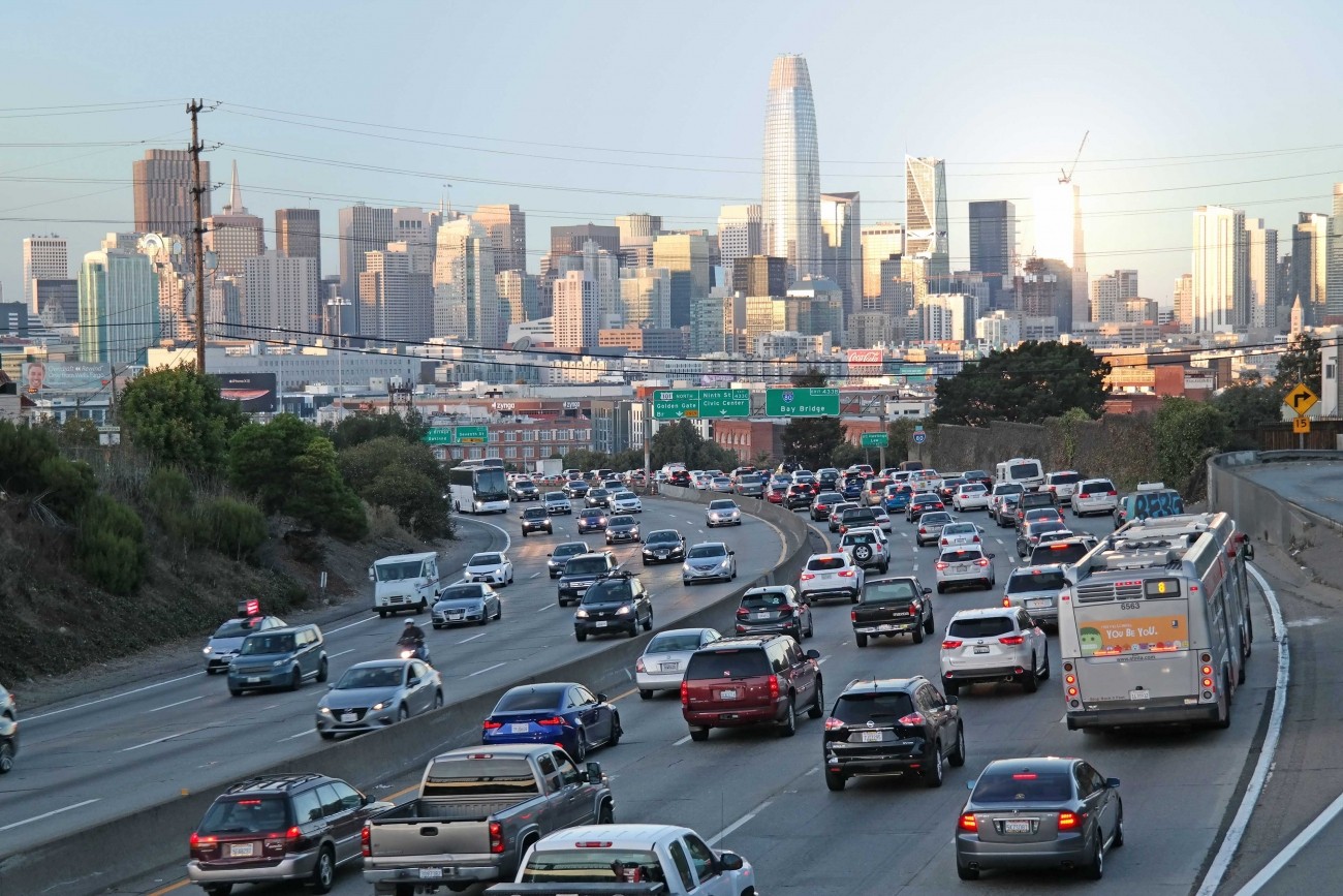
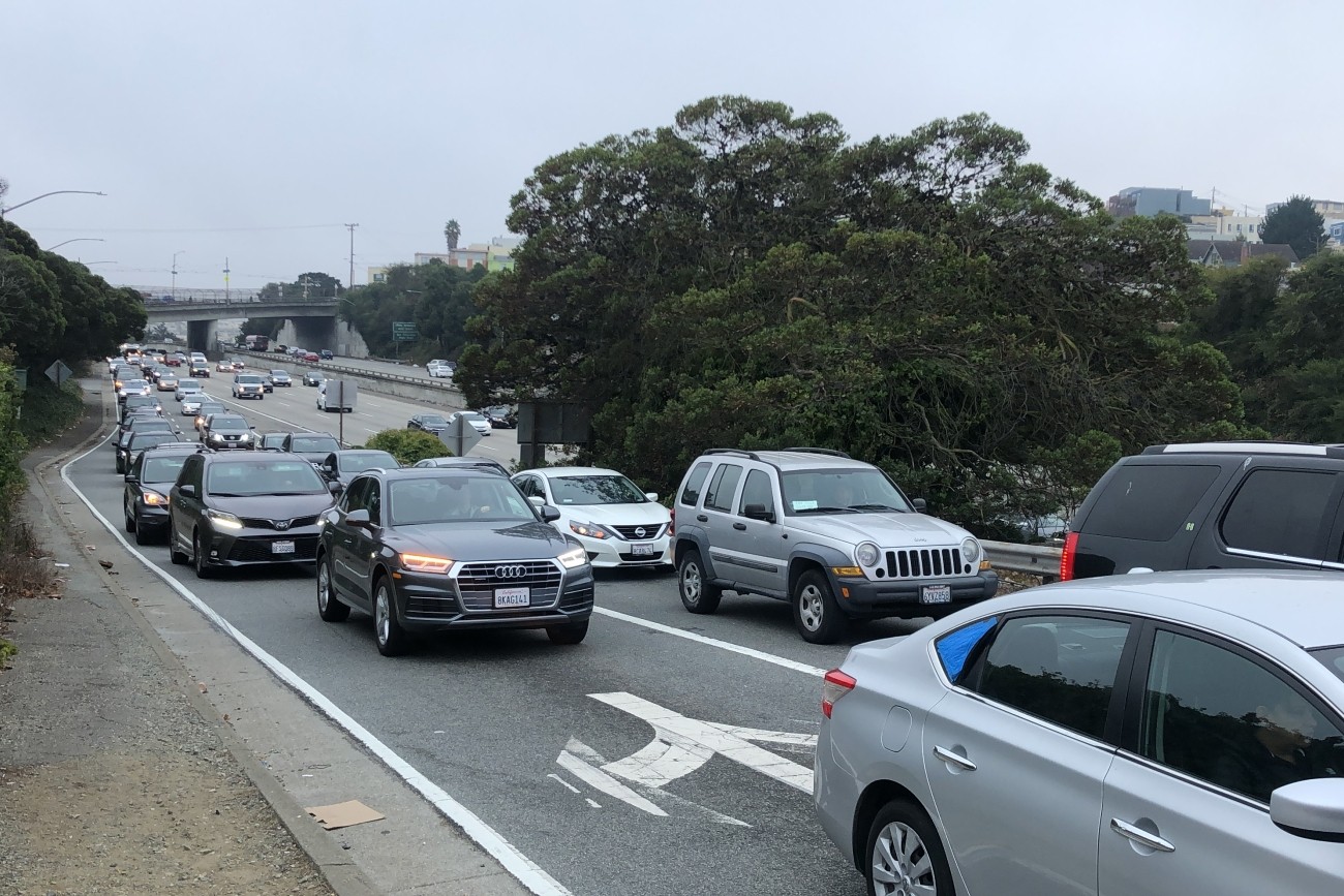
The study will consider managed lane alternatives, including priced lane and priced facility options, for freeways within San Francisco (Central Freeway, I-80, U.S. 101, I-280) with the goals of reducing vehicle miles traveled, increasing person throughput, and improving transit reliability.
Image
The District 1 Multimodal Transportation Study will engage the community to identify known mobility challenges and develop near- to long-term strategies to improve transit reliability and safety and shift trips to transit, walking, biking, or other non-driving options.
Image
This project will upgrade the roadway to modern roadway and seismic standards and provide additional space for pedestrians and bicyclists.
Image
The primary objective of this study was to address safety issues at the I-280 northbound Geneva off-ramp including vehicle queues extending to the freeway mainline and related collisions. The study also explored ways to improve multimodal safety while maintaining essential transit and pedestrian movements in the area.
Image
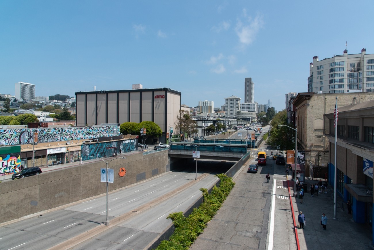
The project will develop transportation and land use concept designs that rethink the urban renewal-era Geary Expressway and advance a high-quality multimodal, mixed-use transit-oriented area to connect the Japantown and Fillmore/Western Addition neighborhoods and promote community livability.
Image
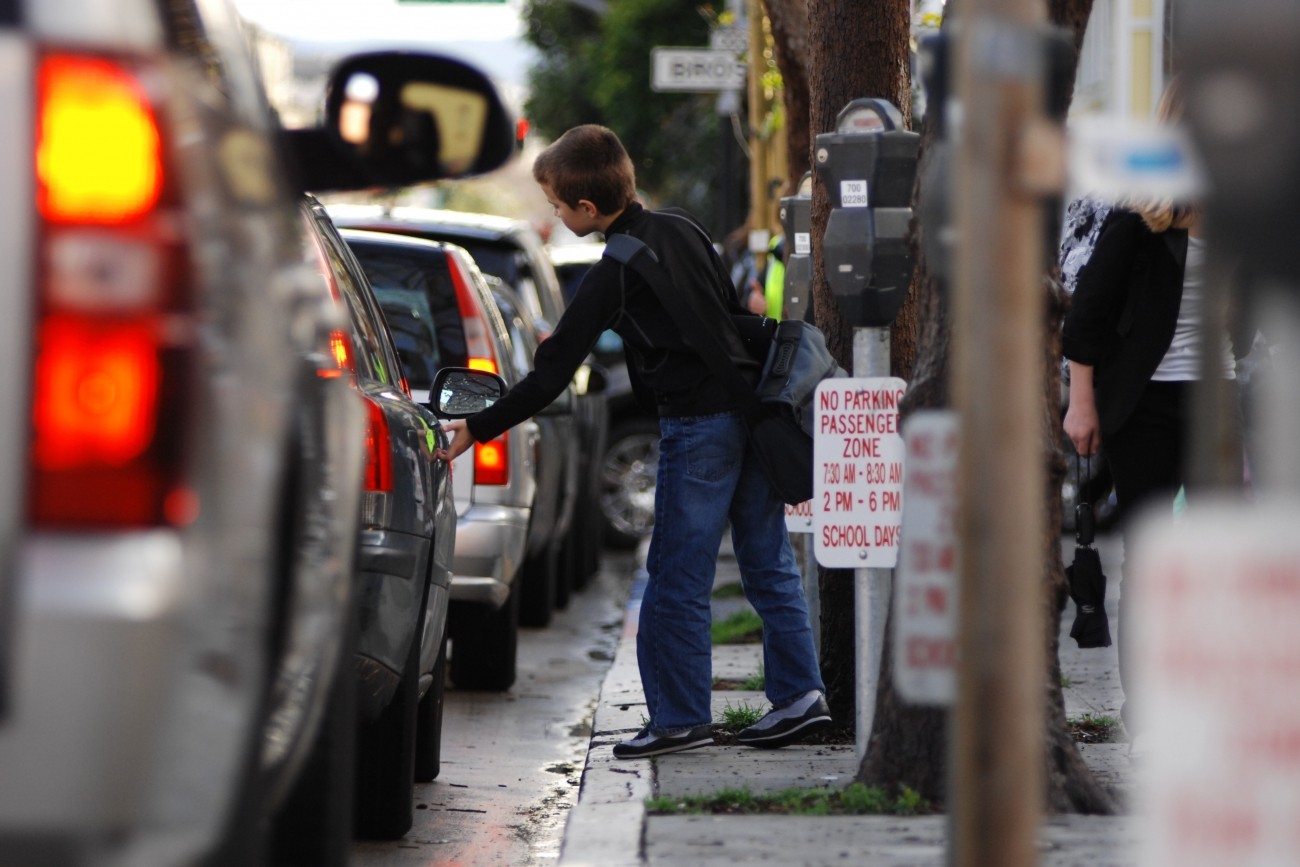
The Transportation Authority is creating a School Access Plan for San Francisco to recommend transportation solutions for K-5 students and their families.
Image
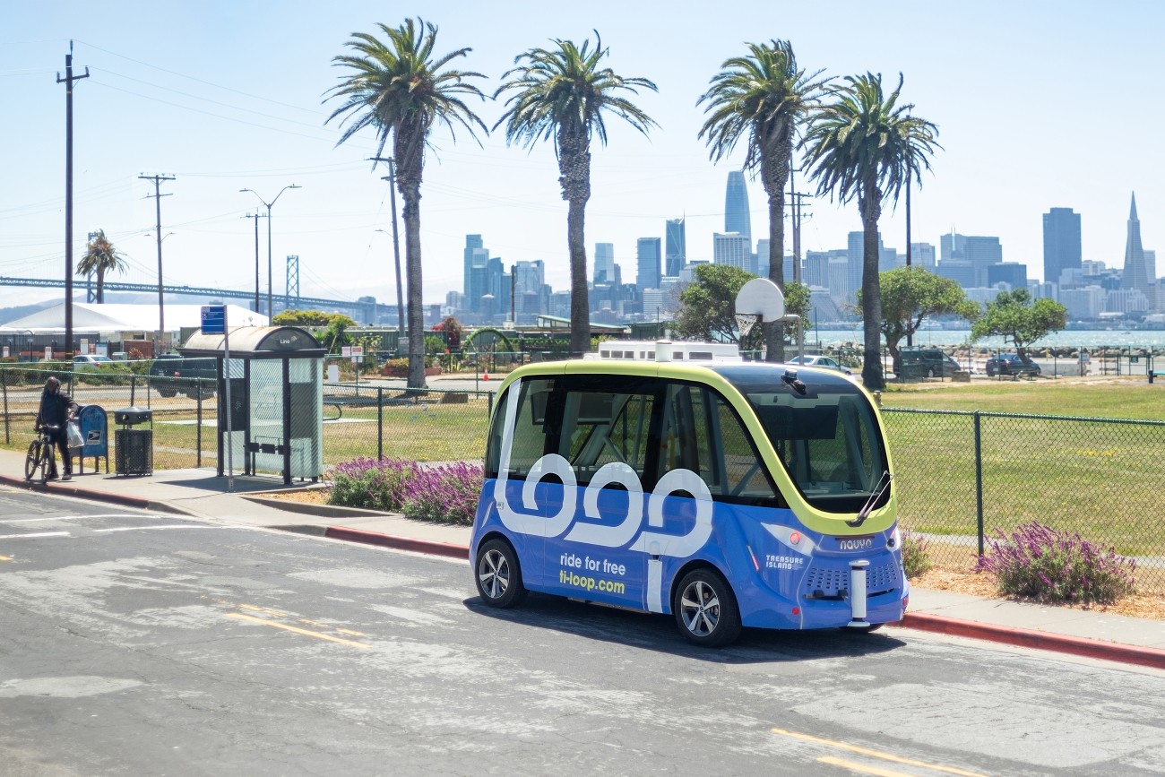
The Treasure Island Mobility Management Agency launched an autonomous shuttle service on Treasure Island from August to December 2023 to better understand how such a service could meet the needs of people traveling around the neighborhood.
Image
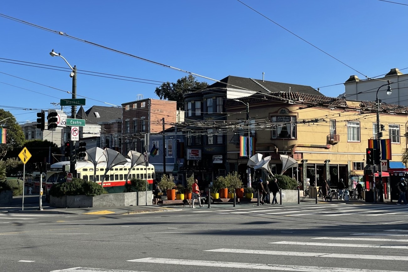
The Jane Warner Plaza Renovation Project will focus on improvements to pedestrian and bicycle safety in this busy multi-modal node.
Image
The Transportation Authority developed the Ocean Avenue Mobility Action Plan to prioritize and identify funding for transportation improvements for the Ocean Avenue corridor.
Image
The Downtown Extension is a plan to extend Caltrain and future California High-Speed Rail service from 4th and King rail yard to the newly-constructed Salesforce Transit Center.