Image
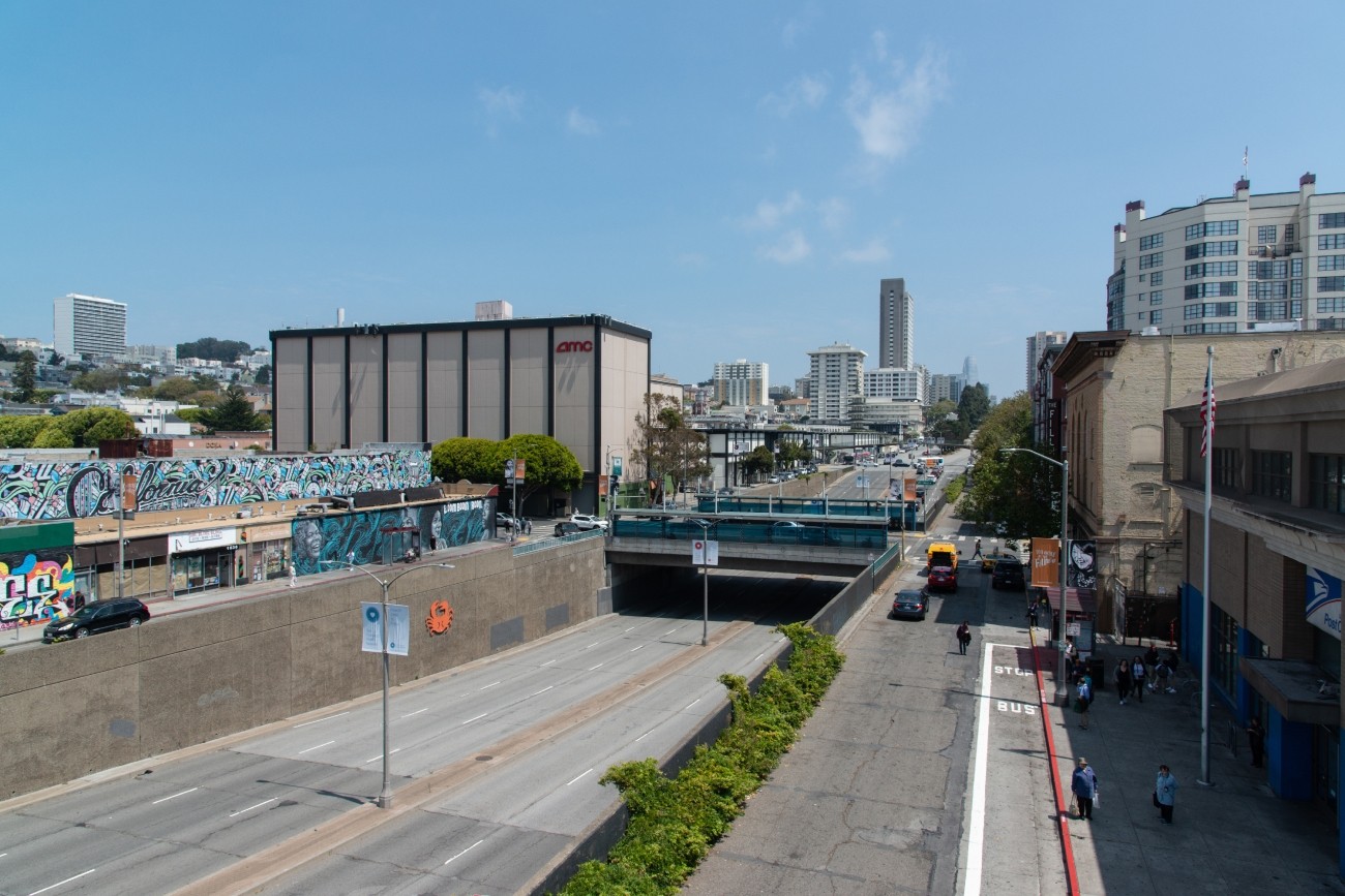
The project will develop transportation and land use concept designs that rethink the urban renewal-era Geary Expressway and advance a high-quality multimodal, mixed-use transit-oriented area to connect the Japantown and Fillmore/Western Addition neighborhoods and promote community livability.
Image

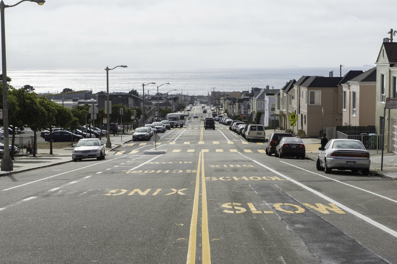
The Westside Network Study will analyze the multimodal westside transportation network and offer recommendations to ensure the network is meeting local needs now and into the future.
Image
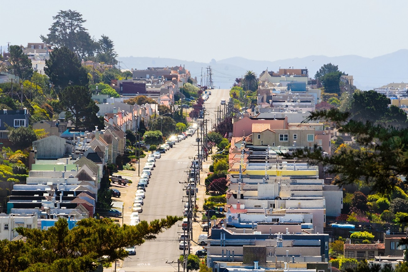
The Transportation Authority is developing a business plan that will define an on-demand community shuttle service within District 4.
Image
Updated every four years, the San Francisco Transportation Plan is the blueprint for the city's transportation system development and investment over the next 30 years.
Image
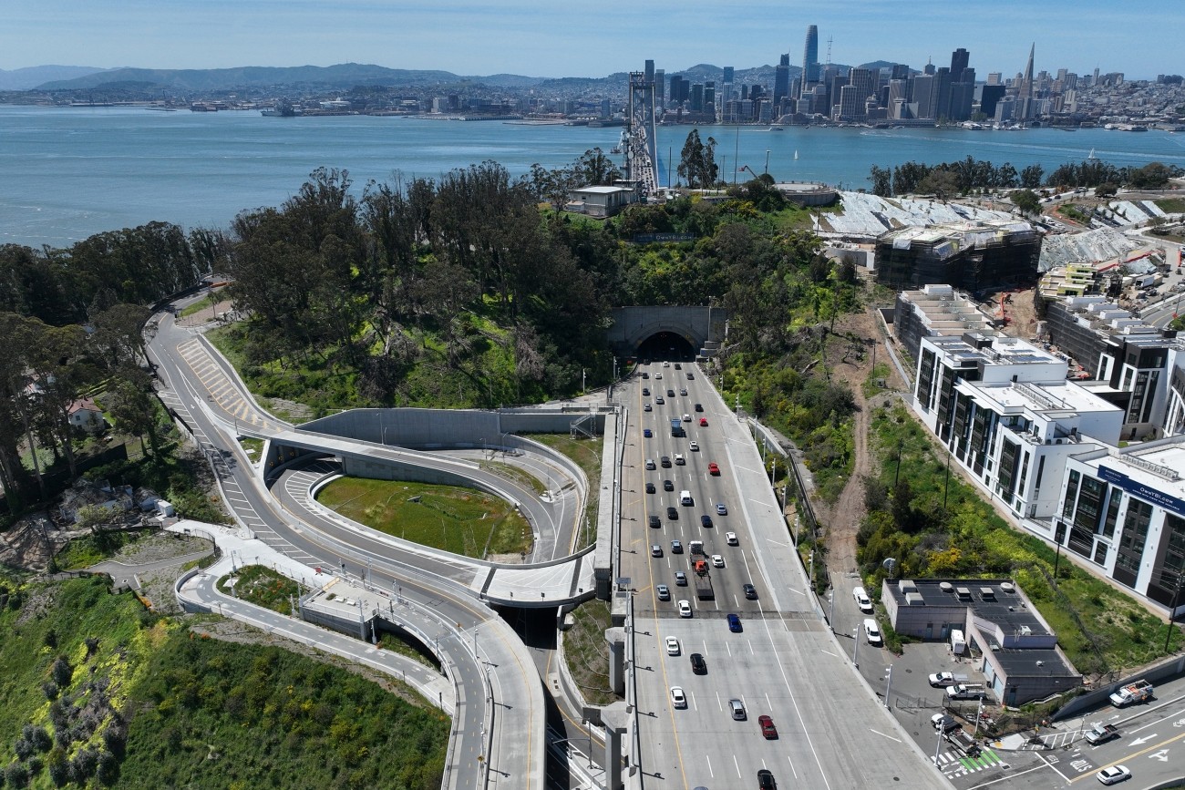
The project reconstructed the I-80 eastbound off-ramp to Yerba Buena Island. The project features an innovative design that enhances safety and circulation. The project was completed in 2023 and reopened to traffic.
Image
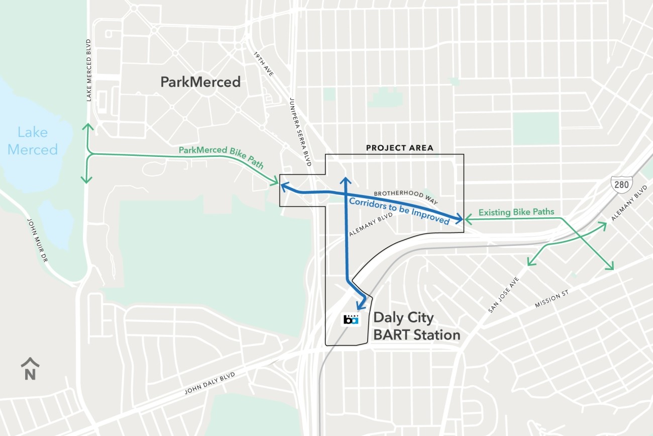
The Brotherhood Way Safety and Circulation Plan will develop near- and long-term concepts to improve safety, circulation, and connectivity through the Brotherhood Way and Alemany Boulevard corridors and on surrounding streets.
Image

The study will develop a more complete understanding of how freight activity impacts the neighborhood and identify strategies to reduce conflicts between large trucks and other road users.
Image

This project is implementing traffic calming and pedestrian safety treatments throughout District 5.
Image
This study explored the effectiveness of parking-based approaches to manage traffic congestion in San Francisco.
Image
The Vision Zero Freeway Ramps Study will identify improvements for 11 freeway ramps across District 7, District 9, District 10, and District 11 to improve safety and connectivity.
Image
The District 2 Safety Study will address safety challenges and barriers to access on routes to land uses that attract children, seniors, and other vulnerable road users including parks, schools, hospitals, and recreational areas.
Image
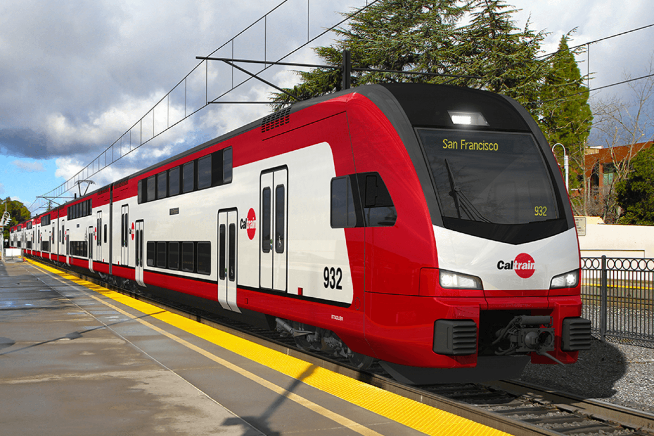
The Caltrain Electrification project brought fully electrified service to Caltrain.
Image
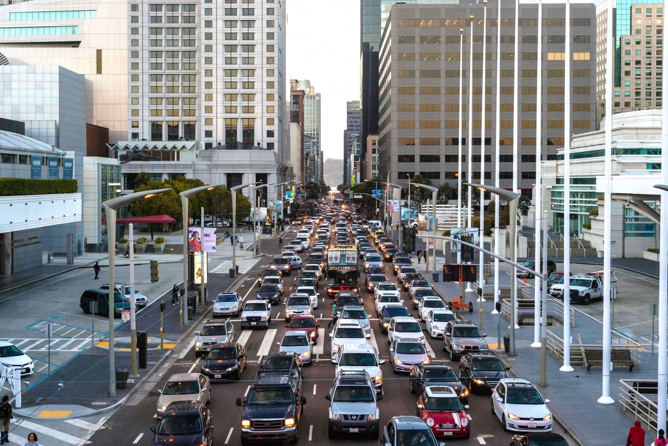
As San Francisco's Congestion Management Agency, we monitor activity on our city's transportation network and adopt plans for mitigating traffic congestion.
Image
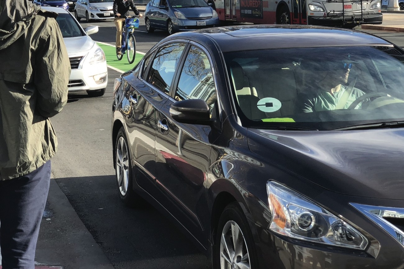
This report provides the first comprehensive estimates of Uber and Lyft activity in the city.
Image
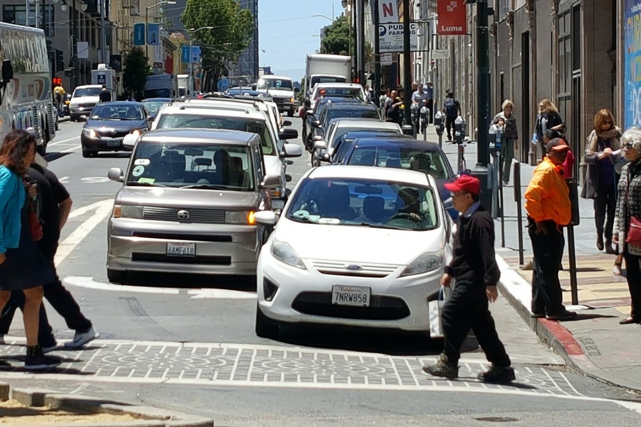
This report provides the first comprehensive analysis of how Transportation Network Companies Uber and Lyft collectively have affected roadway congestion in San Francisco.